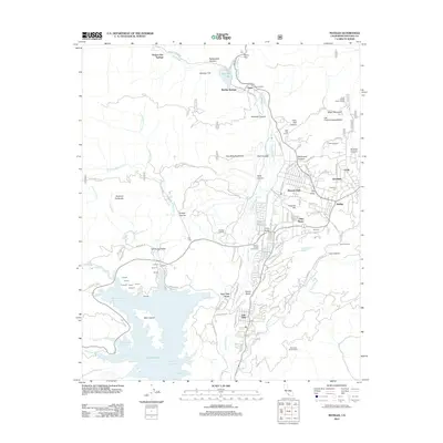
2012 Map of Matilija
USGS Topo · Published 2012About this map
Lake Casitas dominates the southern landscape, its complex shoreline defined by the Station Canyon Arm, Wadleigh Arm, and Chumash Bay. This 2012 survey illustrates the dense residential clusters of the Ojai Valley, including Meiners Oaks, Mira Monte, and the historic neighborhoods of Arbolada and Ojai. The settlement pattern reflects the area's long-standing reliance on its natural water sources, with resorts and hamlets like Matilija Springs, Vickers Hot Springs, and Ojala following the course of the Ventura River and North Fork Matilija Creek.
Find a feature on this map
121 named features on this map. Tap any name to fly to it.
Don’t see what you’re looking for? This feature index may not catch every label — zoom into the map to look around manually.
Map Details
Editions of this 2012 Matilija Map
This is the sole edition of this map. No revisions or reprints were ever made.
Other maps of this area

1903 · Santa Paula
USGS Topo · 1:62,500

1903 · Mt. Pinos
USGS Topo · 1:125,000

1904 · Ventura
USGS Topo · 1:62,500

1941 · Ventura
USGS Topo · 1:62,500

1942 · Santa Paula
USGS Topo · 1:62,500

1942 · Wheeler Springs
USGS Topo · 1:24,000

1943 · Old Man Mountain
USGS Topo · 1:24,000

1943 · Lion Canyon
USGS Topo · 1:24,000

1943 · Wheeler Springs
USGS Topo · 1:24,000
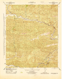
1944 · Wheeler Springs
USGS Topo · 1:31,680