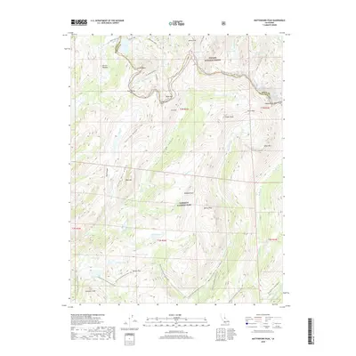
2018 Map of Matterhorn Peak
USGS Topo · Published 2018About this map
Yosemite National Park and Toiyabe National Forest meet along the dramatic crest of the Sierra Nevada, defined here by the jagged Sawtooth Ridge. This high-altitude landscape is dominated by granite spires and glacial basins, with Matterhorn Peak serving as a primary landmark near the boundary of Tuolumne and Mono counties. The drainage patterns are clearly delineated, with Matterhorn Canyon and Virginia Canyon funneling water toward the south, while numerous alpine lakes like Peeler Lake, Doe Lake, and Crown Lake occupy the upper cirques.
Find a feature on this map
62 named features on this map. Tap any name to fly to it.
Don’t see what you’re looking for? This feature index may not catch every label — zoom into the map to look around manually.
Map Details
Editions of this 2018 Matterhorn Peak Map
This is the sole edition of this map. No revisions or reprints were ever made.
Other maps of this area

1896 · Dardanelles
USGS Topo · 1:125,000

1897 · Yosemite
USGS Topo · 1:125,000

1898 · Dardanelles
USGS Topo · 1:125,000

1900 · Yosemite
USGS Topo · 1:125,000

1901 · Mt. Lyell
USGS Topo · 1:125,000

1903 · Yosemite
USGS Topo · 1:125,000

1909 · Yosemite
USGS Topo · 1:125,000

1909 · Bridgeport
USGS Topo · 1:125,000

1911 · Bridgeport
USGS Topo · 1:125,000

1920 · Bridgeport
USGS Topo · 1:125,000