Loading...
Loading map...2023 Map of Mayfield
USGS Topo · Published 2023About this map
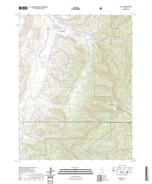
Mayfield stands as the primary settlement on this modern survey, positioned at the mouth of Twelvemile Canyon. The town's grid is bounded by 600 North St and Southfield Rd, while the Mayfield Cem lies to the west, providing a significant touchpoint for local genealogy. This area marks a point of convergence for two major public lands, with the Manti-La Sal National Forest covering the eastern terrain and the Fishlake National Forest extending into the south.
Find a feature on this map
37 named features on this map. Tap any name to fly to it.
Don’t see what you’re looking for? This feature index may not catch every label — zoom into the map to look around manually.
Map Details
Date Portrayed2023
Date Published2023
PublisherU.S. Geological Survey
Map TypeTopographic
Scale1:24000
Physical Dimensions24 x 29 inches
Editions of this 2023 Mayfield Map
This is the sole edition of this map. No revisions or reprints were ever made.
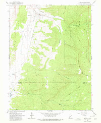
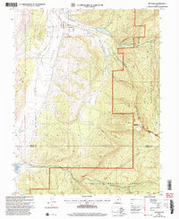
Historical Maps of Mayfield Through Time
3 maps found
Featured Locations
Source Details
SourceU.S. Geological Survey
CopyrightPublic Domain