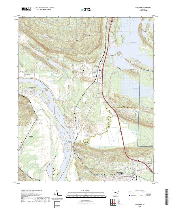
2024 Map of Mayflower
USGS Topo · Published 2024About this map
Mayflower and the southern reaches of Lake Conway dominate this landscape where the Arkansas River valley meets the rising terrain of Moss Mountain and Reynolds Mtn. The river meanders through the western half of the map, creating distinct landmarks like Beaverdam Island, Devils Bend, and Fletcher Bend. The eastern section is defined by the wetlands and wildlife areas surrounding Bell Slough and Grassy Lake, which transition into the military grounds of Camp Joseph Robinson along the Pulaski and Faulkner County line.
Find a feature on this map
151 named features on this map. Tap any name to fly to it.
Don’t see what you’re looking for? This feature index may not catch every label — zoom into the map to look around manually.
Map Details
Editions of this 2024 Mayflower Map
This is the sole edition of this map. No revisions or reprints were ever made.
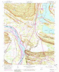
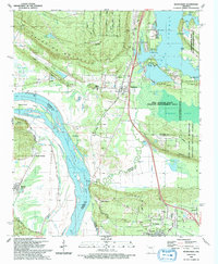
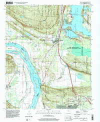
Historical Maps of Palarm Through Time
4 maps found