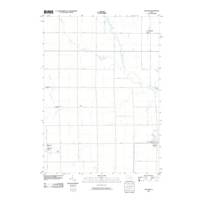
2010 Map of Maynard
USGS Topo · Published 2010About this map
The Volga River and its various tributaries, including the North Branch Volga River and Little Volga River, define the rural geography of this Fayette County landscape. Small agricultural settlements serve as the primary hubs of activity, with the town of Maynard situated in the southeast and Randalia in the northeast. These communities are anchored by essential services like the Maynard Post Office and Randalia Post Office, reflecting a classic Midwestern township structure.
Find a feature on this map
26 named features on this map. Tap any name to fly to it.
Don’t see what you’re looking for? This feature index may not catch every label — zoom into the map to look around manually.
Map Details
Editions of this 2010 Maynard Map
This is the sole edition of this map. No revisions or reprints were ever made.
Other maps of this area

1901 · Oelwein
USGS Topo · 1:125,000

1954 · Waterloo
USGS Topo · 1:250,000

1955 · Waterloo
USGS Topo · 1:250,000

1959 · Dubuque
USGS Topo · 1:250,000

1961 · Dubuque
USGS Topo · 1:250,000

1962 · Dubuque
USGS Topo · 1:250,000

1971 · Sumner
USGS Topo · 1:24,000

1971 · Alpha
USGS Topo · 1:24,000

1971 · Fairbank
USGS Topo · 1:24,000

1976 · Dubuque
USGS Topo · 1:250,000