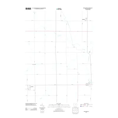
2013 Map of Maynard
USGS Topo · Published 2013About this map
The Volga River and its various branches dominate the landscape of central Fayette County, carving a winding path through the agricultural grid. In the south, the community of Maynard sits at a crossroads near the Little Volga River, while Westgate occupies the southwestern corner, notably featuring Railroad St as a reminder of its historical transit connections. To the north, the settlement of Randalia is positioned near the junction of 160th St and Opal Rd. The geography is defined by a dense network of country roads such as Quarry Rd and Pearl Rd that link these small towns across the fertile Iowa plains. Local waterways like Stoe Cr and Otter Cr provide additional drainage for the surrounding farms, while the N Br Volga River feeds into the main channel near the small landmark identified as Twin Bridge.
Find a feature on this map
43 named features on this map. Tap any name to fly to it.
Don’t see what you’re looking for? This feature index may not catch every label — zoom into the map to look around manually.
Map Details
Editions of this 2013 Maynard Map
This is the sole edition of this map. No revisions or reprints were ever made.
Other maps of this area

1901 · Oelwein
USGS Topo · 1:125,000

1954 · Waterloo
USGS Topo · 1:250,000

1955 · Waterloo
USGS Topo · 1:250,000

1959 · Dubuque
USGS Topo · 1:250,000

1961 · Dubuque
USGS Topo · 1:250,000

1962 · Dubuque
USGS Topo · 1:250,000

1971 · Sumner
USGS Topo · 1:24,000

1971 · Alpha
USGS Topo · 1:24,000

1971 · Fairbank
USGS Topo · 1:24,000

1976 · Dubuque
USGS Topo · 1:250,000