2022 Map of Maynard
USGS Topo · Published 2022About this map
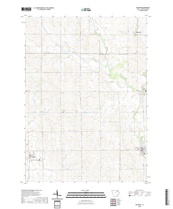
Maynard and the surrounding Fayette County landscape are defined by the winding course of the Volga River and its several tributaries. This contemporary survey captures the region's agricultural character, where a strict grid of section lines and county roads, such as Co HWY w14 and 120th ST, organizes the terrain. The map provides significant detail for genealogists, identifying five distinct burial grounds including Calvary Cem near Westgate and Center Grove Cem on the eastern edge of the quadrangle.
Find a feature on this map
42 named features on this map. Tap any name to fly to it.
Don’t see what you’re looking for? This feature index may not catch every label — zoom into the map to look around manually.
Map Details
Editions of this 2022 Maynard Map
This is the sole edition of this map. No revisions or reprints were ever made.