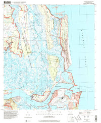
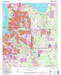
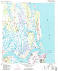
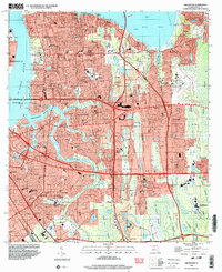
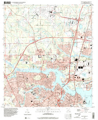
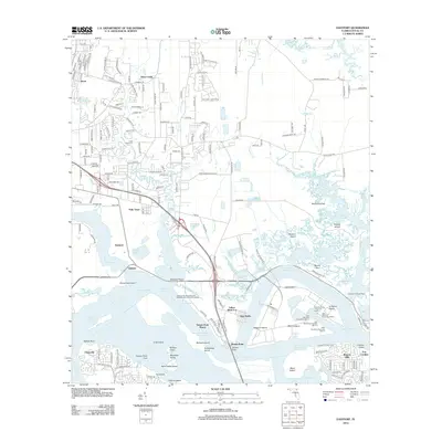
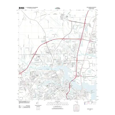
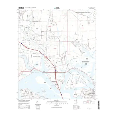
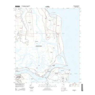
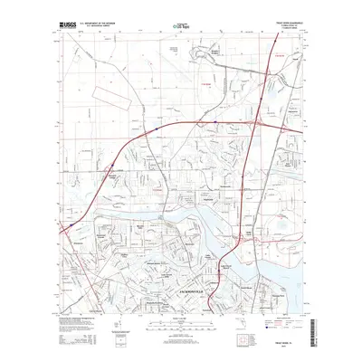
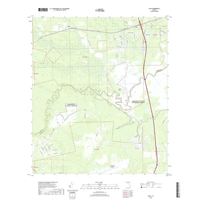
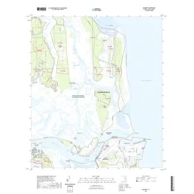
1994 Map of Mayport
USGS Topo · Published 2002About this map
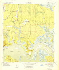
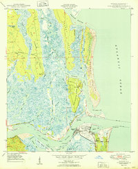
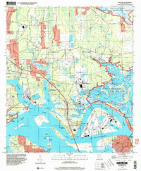
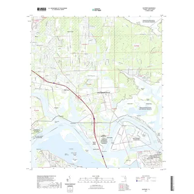
Mayport Naval Station dominates the southern reaches of this maritime landscape, where the St Johns River meets the Atlantic Ocean. The coastal geography is defined by a dense network of estuarine marshes and islands, protected in part by the Timucuan National Ecological and Historic Preserve. To the north, the barrier islands of Big Talbot Island and Little Talbot Island provide a buffer against the sea, separated by the winding Simpson Creek.
Find a feature on this map
78 named features on this map. Tap any name to fly to it.
Don’t see what you’re looking for? This feature index may not catch every label — zoom into the map to look around manually.
Map Details
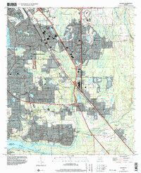
Editions of this 1994 Mayport Map
This is the sole edition of this map. No revisions or reprints were ever made.
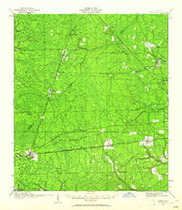
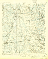
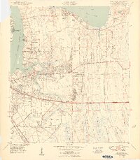
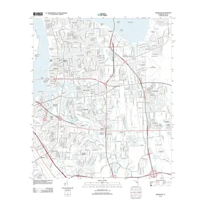
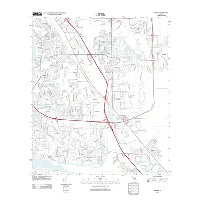
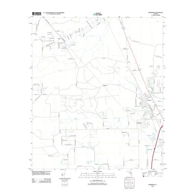
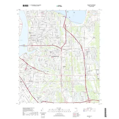
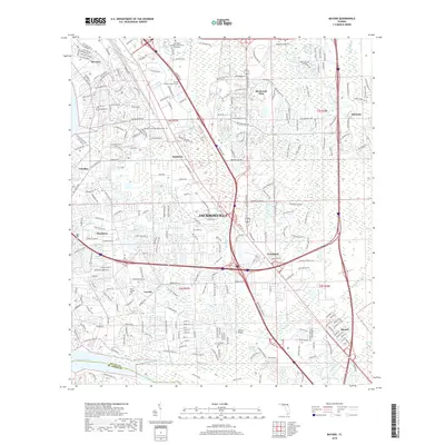
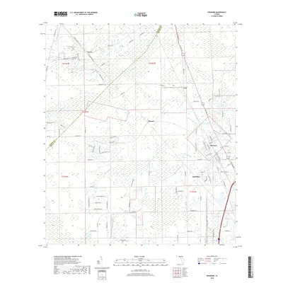
Historical Maps of Jacksonville Through Time
64 maps found
1917 Cambon
Duval County, FL
1918 Cambon
Duval County, FL

1918 Mayport
Duval County, FL

1948 Eastport
Duval County, FL
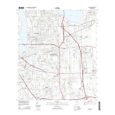
1950 Arlington
Duval County, FL
1950 Eastport
Duval County, FL
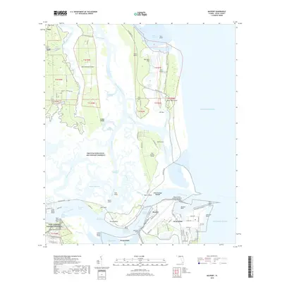
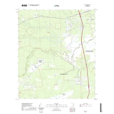
1950 Mayport
Duval County, FL

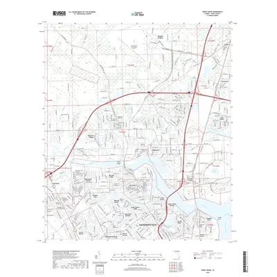
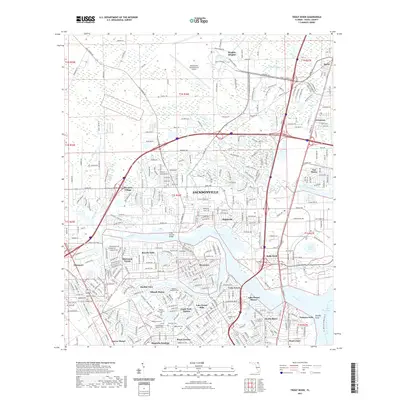
1950 Trout River
Duval County, FL
1952 Bayard
Duval County, FL
1958 Italia
Duval County, FL
1963 Arlington
Duval County, FL
1964 Bayard
Duval County, FL
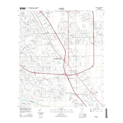
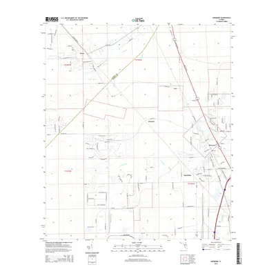
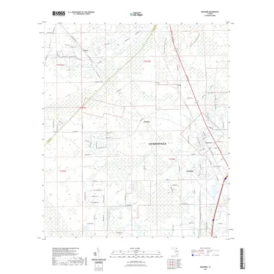
1964 Dinsmore
Duval County, FL
1964 Eastport
Duval County, FL
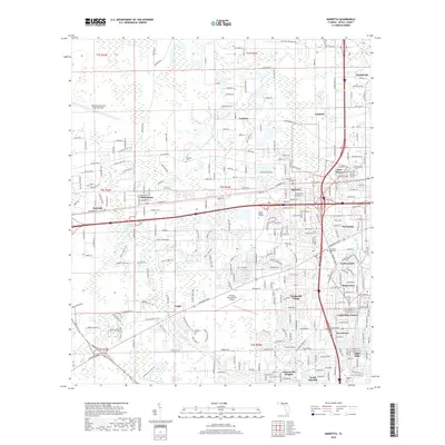
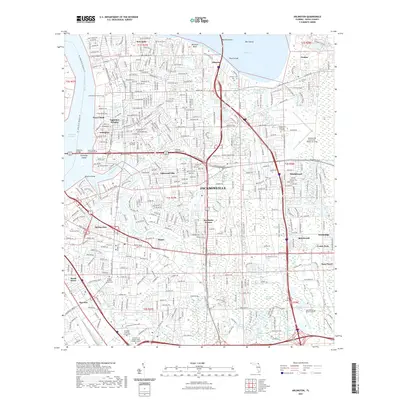
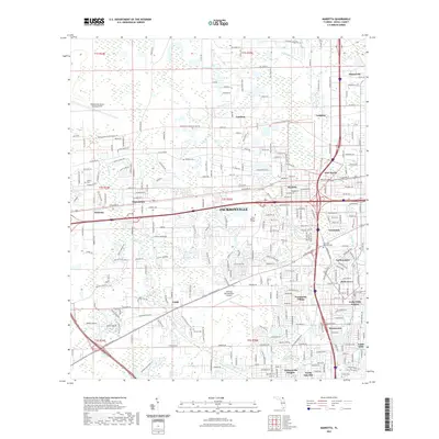
1964 Marietta
Duval County, FL
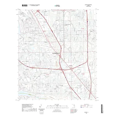
1964 Mayport
Duval County, FL
1964 Trout River
Duval County, FL
1993 Bayard
Duval County, FL
1994 Arlington
Duval County, FL
1994 Bayard
Duval County, FL
1994 Eastport
Duval County, FL
1994 Marietta
Duval County, FL
1994 Mayport
Duval County, FL
1994 Trout River
Duval County, FL
2012 Arlington
Duval County, FL
2012 Bayard
Duval County, FL
2012 Dinsmore
Duval County, FL
2012 Eastport
Duval County, FL
2012 Italia
Duval County, FL
2012 Marietta
Duval County, FL
2012 Mayport
Duval County, FL
2012 Trout River
Duval County, FL
2015 Arlington
Duval County, FL
2015 Bayard
Duval County, FL
2015 Dinsmore
Duval County, FL
2015 Eastport
Duval County, FL
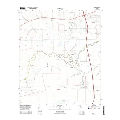
2015 Italia
Duval County, FL
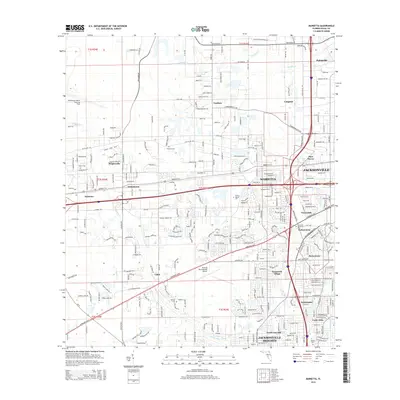
2015 Marietta
Duval County, FL
2015 Mayport
Duval County, FL
2015 Trout River
Duval County, FL
2018 Arlington
Duval County, FL
2018 Bayard
Duval County, FL
2018 Dinsmore
Duval County, FL

2018 Eastport
Duval County, FL
2018 Italia
Duval County, FL
2018 Marietta
Duval County, FL
2018 Mayport
Duval County, FL
2018 Trout River
Duval County, FL
2021 Arlington
Duval County, FL
2021 Bayard
Duval County, FL
2021 Dinsmore
Duval County, FL
2021 Eastport
Duval County, FL
2021 Italia
Duval County, FL
2021 Marietta
Duval County, FL
2021 Mayport
Duval County, FL
2021 Trout River
Duval County, FL
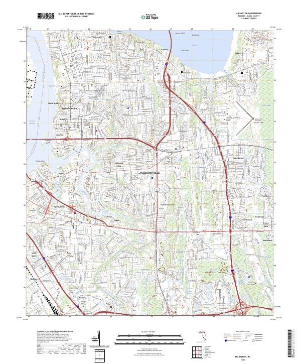
2024 Arlington
Duval County, FL
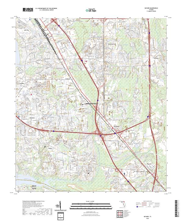
2024 Bayard
Duval County, FL
2024 Dinsmore
Duval County, FL
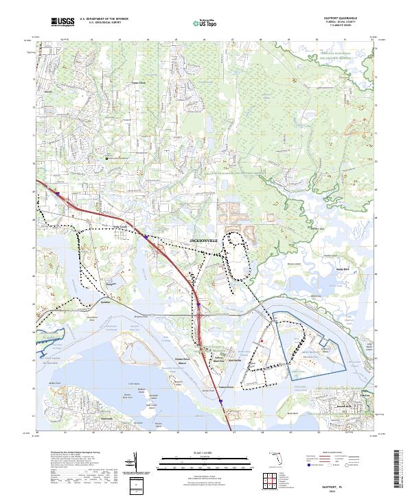
2024 Eastport
Duval County, FL
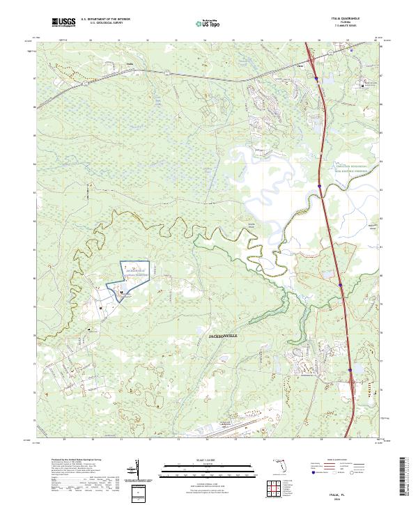
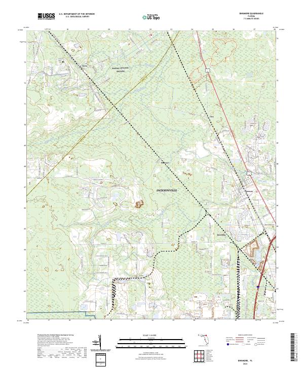
2024 Italia
Duval County, FL
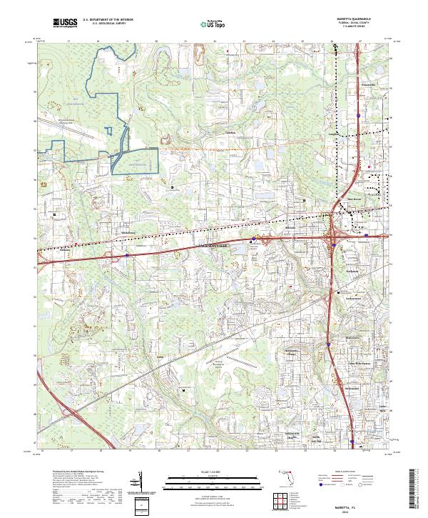
2024 Marietta
Duval County, FL
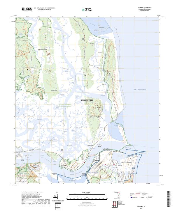
2024 Mayport
Duval County, FL
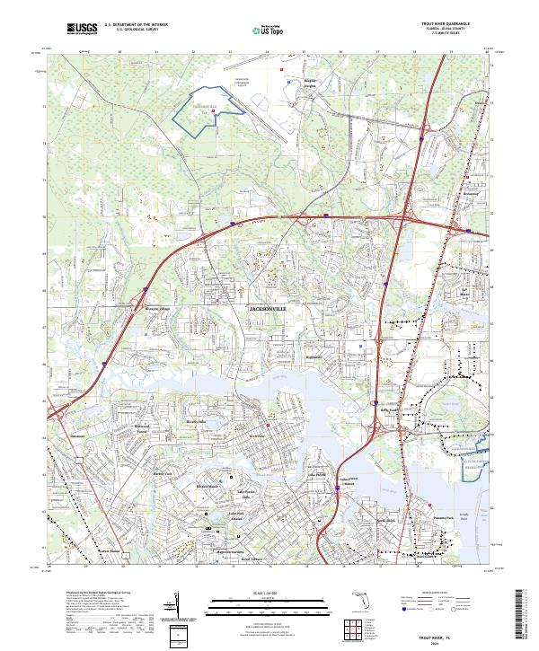
2024 Trout River
Duval County, FL
Featured Locations
- Duval County, FL
- Jacksonville, FL
- Fort George Island, Jacksonville
- East Mayport, Jacksonville
- Mayport, Jacksonville