
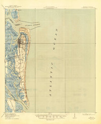
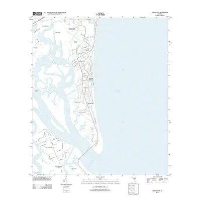
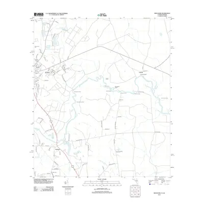
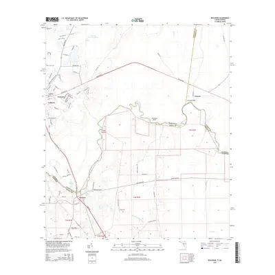
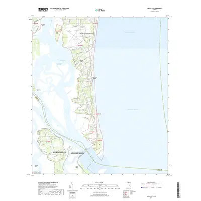
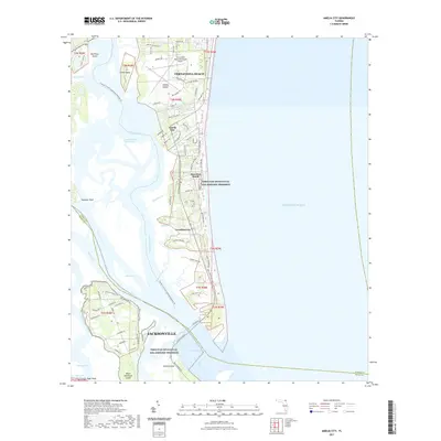
1944 Map of Fernandina
USGS Topo · Published 1944About this map
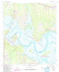
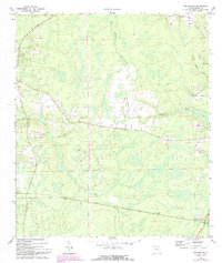
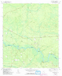
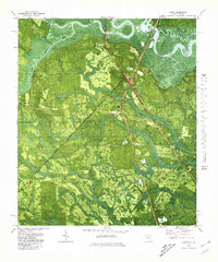
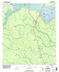
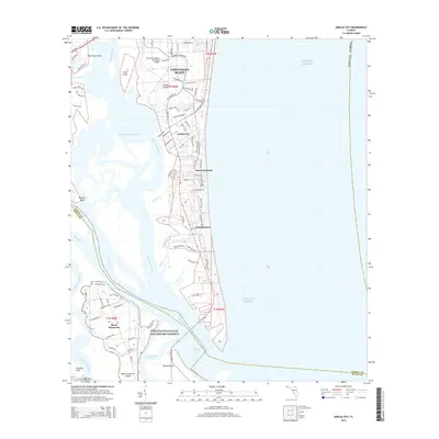
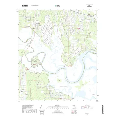
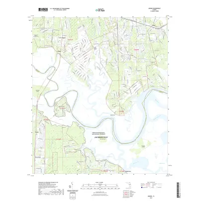
Ft Clinch stands at the northern tip of Amelia Island, overlooking the strategically vital St Marys Entrance during the mid-1940s. This survey, compiled from 1942 aerial photography, documents the coastal landscape of Nassau County at a time when the Seaboard Air Line railroad provided the primary land connection to the busy port at Fernandina. The map captures a distinct era of settlement, contrasting the established grid of the main town with the older site at Old Fernandina and the smaller outpost at Franklintown to the south.
Find a feature on this map
44 named features on this map. Tap any name to fly to it.
Don’t see what you’re looking for? This feature index may not catch every label — zoom into the map to look around manually.
Map Details
Editions of this 1944 Fernandina Map
This is the sole edition of this map. No revisions or reprints were ever made.
Historical Maps of Jacksonville Through Time
57 maps found

1918 St Marys
Nassau County, FL
1919 Fernandina
Nassau County, FL
1919 St Marys
Nassau County, FL
1944 Fernandina
Nassau County, FL
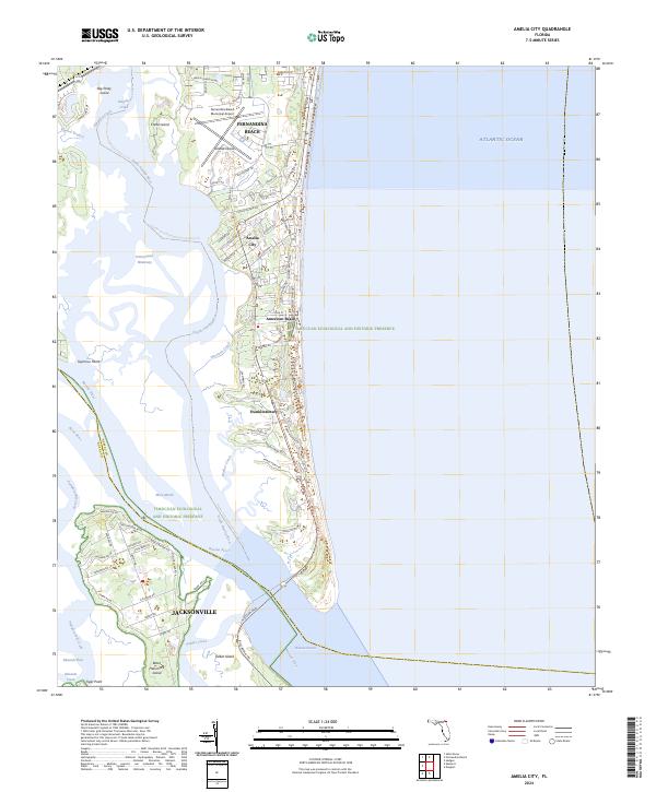
1958 Amelia City
Nassau County, FL
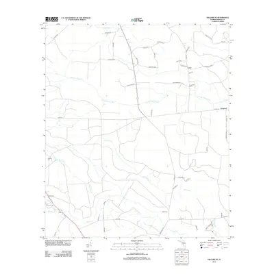
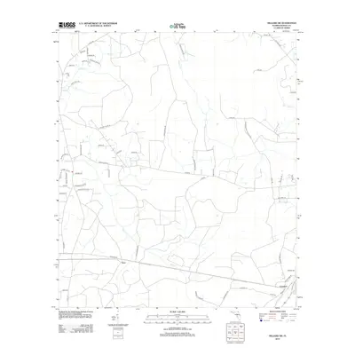
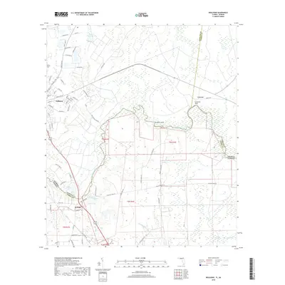
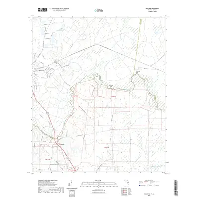
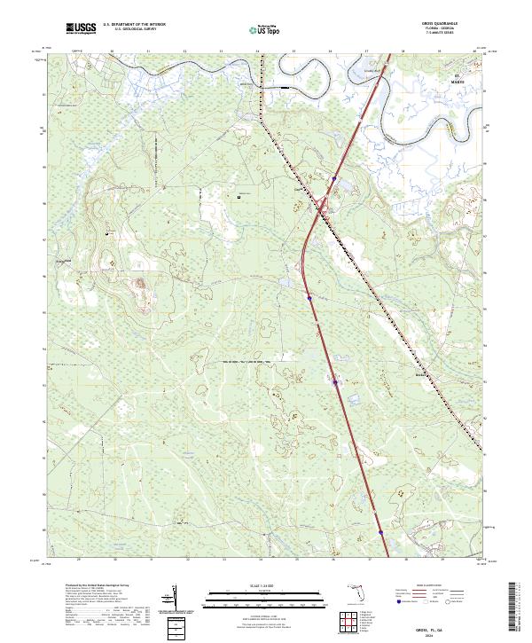
1958 Gross
Nassau County, FL
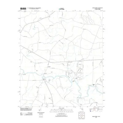
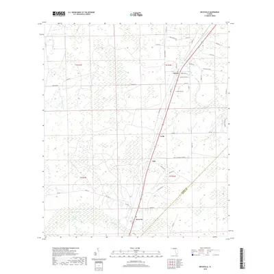
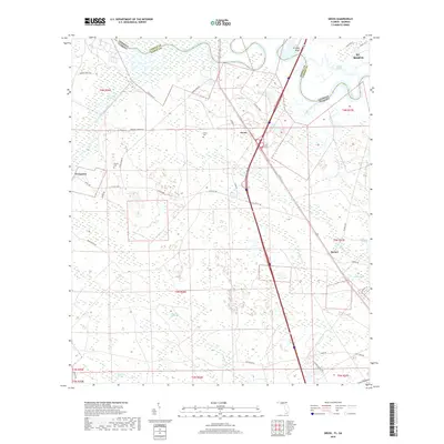
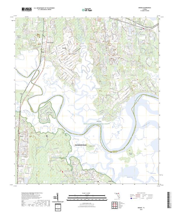
1958 Hedges
Nassau County, FL
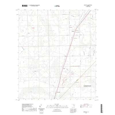
1964 Bryceville
Nassau County, FL
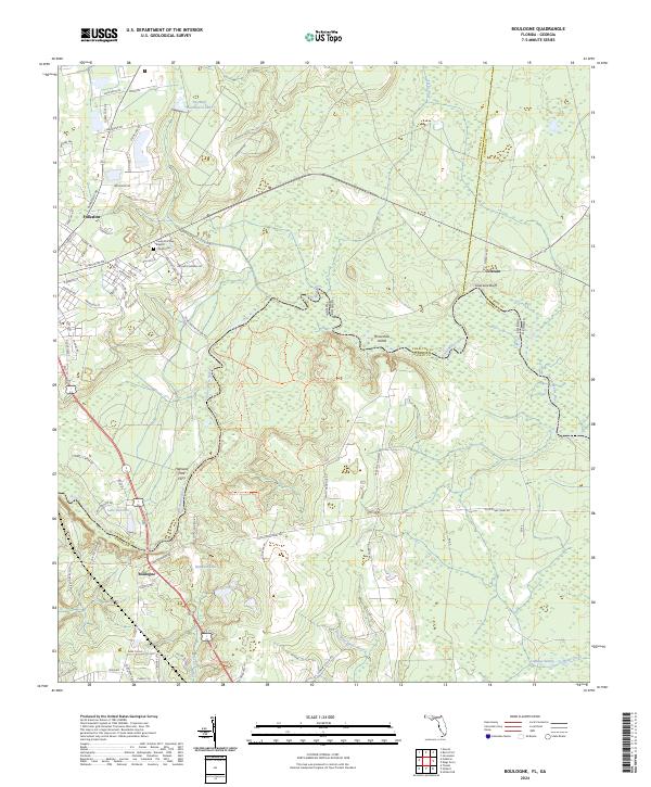
1970 Boulogne
Nassau County, FL
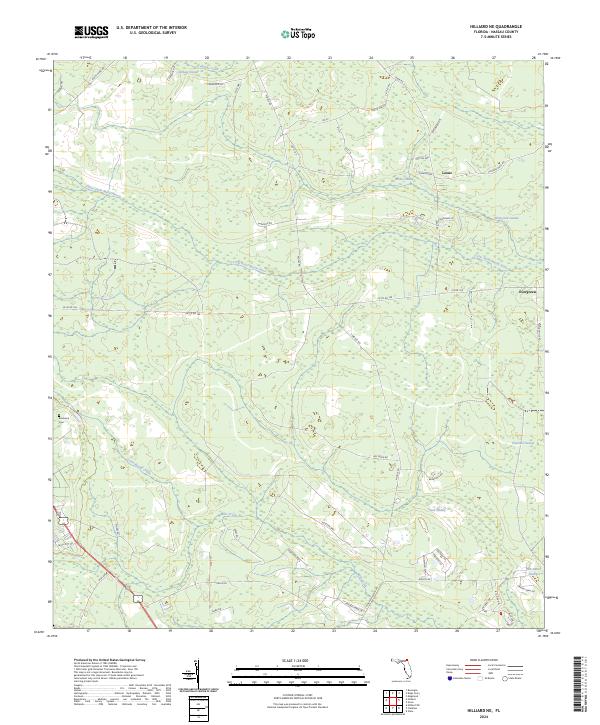
1970 Hilliard NE
Nassau County, FL
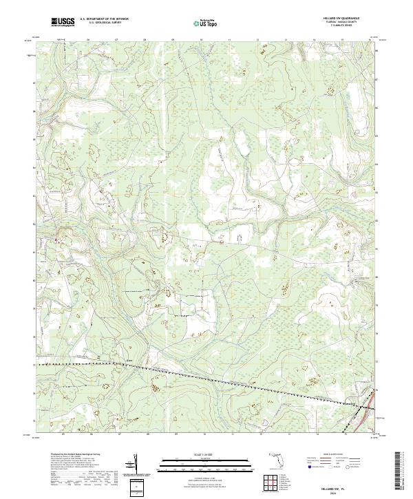
1970 Hilliard SW
Nassau County, FL
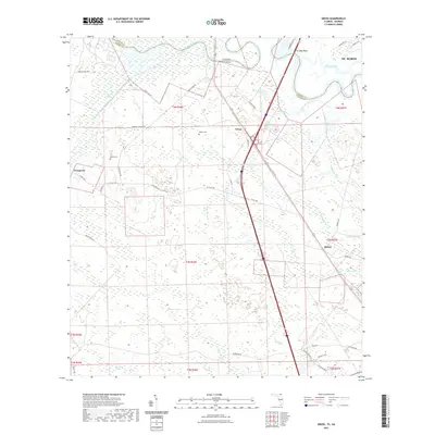
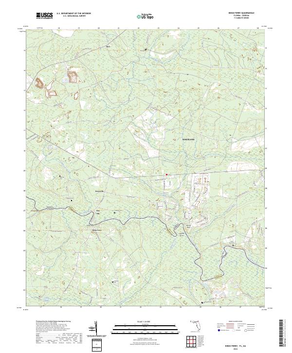
1970 Kings Ferry
Nassau County, FL
1979 Gross
Nassau County, FL
1993 Gross
Nassau County, FL
2011 Boulogne
Nassau County, FL
2011 Gross
Nassau County, FL
2011 Kings Ferry
Nassau County, FL
2012 Amelia City
Nassau County, FL
2012 Boulogne
Nassau County, FL
2012 Bryceville
Nassau County, FL
2012 Gross
Nassau County, FL
2012 Hedges
Nassau County, FL
2012 Hilliard NE
Nassau County, FL
2012 Hilliard SW
Nassau County, FL
2012 Kings Ferry
Nassau County, FL
2015 Amelia City
Nassau County, FL
2015 Boulogne
Nassau County, FL
2015 Bryceville
Nassau County, FL
2015 Gross
Nassau County, FL
2015 Hedges
Nassau County, FL
2015 Hilliard NE
Nassau County, FL
2015 Hilliard SW
Nassau County, FL
2015 Kings Ferry
Nassau County, FL
2018 Amelia City
Nassau County, FL
2018 Boulogne
Nassau County, FL
2018 Bryceville
Nassau County, FL
2018 Gross
Nassau County, FL
2018 Hedges
Nassau County, FL
2018 Hilliard NE
Nassau County, FL
2018 Hilliard SW
Nassau County, FL
2018 Kings Ferry
Nassau County, FL
2021 Amelia City
Nassau County, FL
2021 Boulogne
Nassau County, FL
2021 Bryceville
Nassau County, FL
2021 Gross
Nassau County, FL
2021 Hedges
Nassau County, FL
2021 Hilliard NE
Nassau County, FL
2021 Hilliard SW
Nassau County, FL
2021 Kings Ferry
Nassau County, FL
2024 Amelia City
Nassau County, FL
2024 Boulogne
Nassau County, FL

2024 Bryceville
Nassau County, FL
2024 Gross
Nassau County, FL
2024 Hedges
Nassau County, FL
2024 Hilliard NE
Nassau County, FL
2024 Hilliard SW
Nassau County, FL
2024 Kings Ferry
Nassau County, FL