
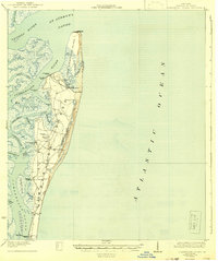
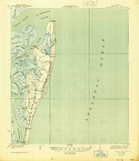
1930 Map of Cumberland Island
USGS Topo · Published 1930About this map
Cumberland Island is depicted here during the early twentieth century, revealing a maritime landscape of isolated estates and strategic water access points. Before modern bridge access, the island's connectivity relied entirely on a series of landings including Dungeness Wharf at the southern tip and Plum Orchard Wharf further north. These private wharves served prominent island residences like Greyfield, signaling an era of grand coastal retreats.
Find a feature on this map
38 named features on this map. Tap any name to fly to it.
Don’t see what you’re looking for? This feature index may not catch every label — zoom into the map to look around manually.
Map Details
Editions of this 1930 Cumberland Island Map
3 editions found
Other maps of this area

1918 · St Marys
USGS Topo · 1:62,500

1918 · Cumberland Island
USGS Topo · 1:62,500

1918 · Bladen
USGS Topo · 1:62,500

1918 · Kingsland
USGS Topo · 1:62,500

1919 · Fernandina
USGS Topo · 1:62,500

1919 · St Marys
USGS Topo · 1:62,500

1939 · Bladen
USGS Topo · 1:62,500

1944 · Fernandina
USGS Topo · 1:62,500

1945 · Brunswick
USGS Topo · 1:62,500

1945 · Cumberland Island
USGS Topo · 1:62,500