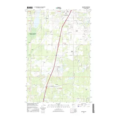
2017 Map of Maytown
USGS Topo · Published 2017About this map
Tumwater anchors the northern edge of this landscape, where the Deschutes River flows through a mix of suburban development and established aviation infrastructure at the Olympia Regional Airport. The terrain to the south transitions into a series of distinctive prairies and water bodies, including Bush Prairie and the larger Black Lake. This 2017 survey reveals the persistent rural-residential patterns of Belmore and South Union, which remain separated from the more concentrated growth to the north.
Find a feature on this map
144 named features on this map. Tap any name to fly to it.
Don’t see what you’re looking for? This feature index may not catch every label — zoom into the map to look around manually.
Map Details
Editions of this 2017 Maytown Map
This is the sole edition of this map. No revisions or reprints were ever made.
Other maps of this area

1916 · Chehalis
USGS Topo · 1:125,000

1937 · Olympia
USGS Topo · 1:62,500

1939 · Shelton
USGS Topo · 1:62,500

1940 · Tenino
USGS Topo · 1:62,500

1941 · Gate
USGS Topo · 1:62,500

1944 · Tenino
USGS Topo · 1:62,500

1949 · Tenino
USGS Topo · 1:62,500

1949 · Olympia
USGS Topo · 1:62,500

1953 · Hoquiam
USGS Topo · 1:250,000

1953 · Rochester
USGS Topo · 1:62,500