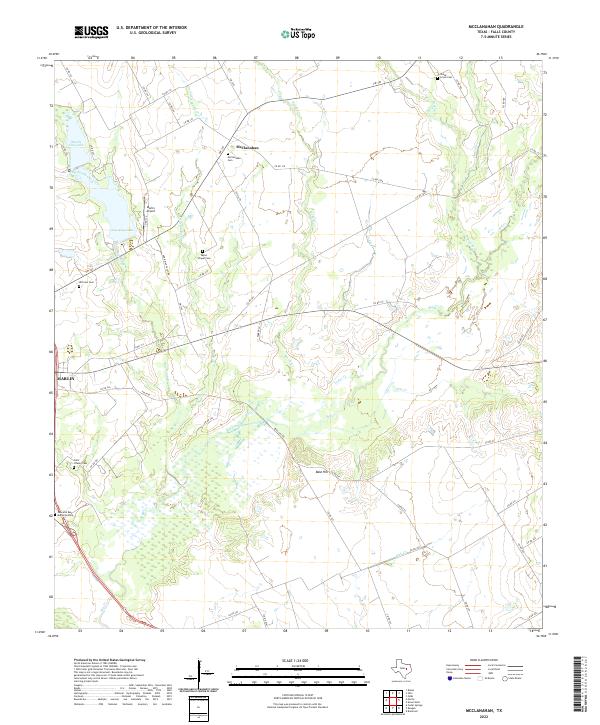
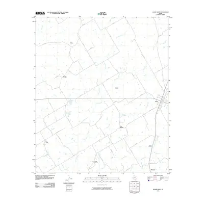
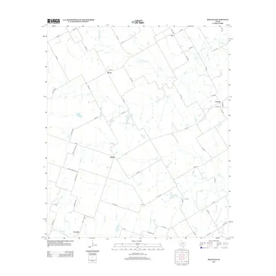
2022 Map of McClanahan
USGS Topo · Published 2022About this map
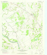
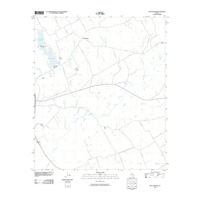
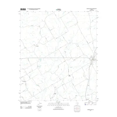
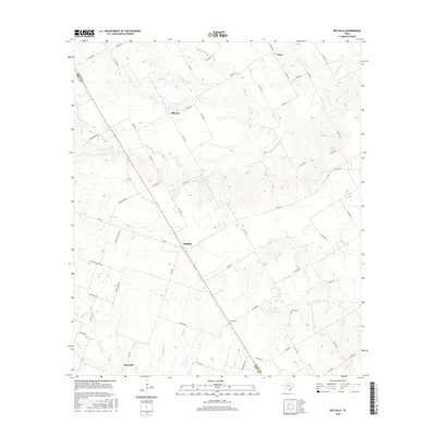
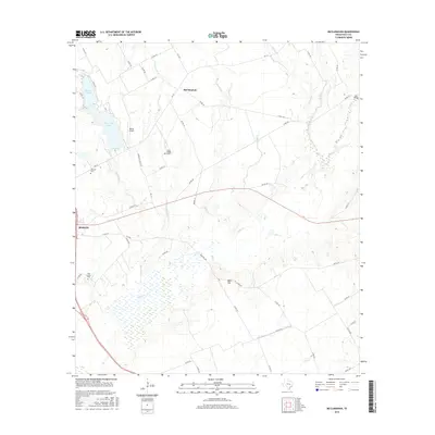
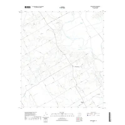
McClanahan serves as the focal point of this agricultural landscape in Falls County, where the sprawling drainage of Big Creek and its tributaries define the terrain. The area is marked by a high density of rural burial grounds, including the McClanahan Cem and the Shady Grove Cem, providing valuable touchstones for genealogical research. To the west, the outskirts of Marlin appear along the edge of the survey, characterized by municipal features like the Marlin Airport and the expansive Marlin City Lake. The topographic detail reveals a network of county roads, such as Annie Mae Casey Rd and Bald Hill Rd, that connect isolated farmsteads across the undulating prairies. Significant water bodies like New City Lake and Keechi Cr illustrate the hydrological importance of the Brazos River basin in this central Texas region.
Find a feature on this map
60 named features on this map. Tap any name to fly to it.
Don’t see what you’re looking for? This feature index may not catch every label — zoom into the map to look around manually.
Map Details
Editions of this 2022 McClanahan Map
This is the sole edition of this map. No revisions or reprints were ever made.
Historical Maps of Marlin Through Time
48 maps found
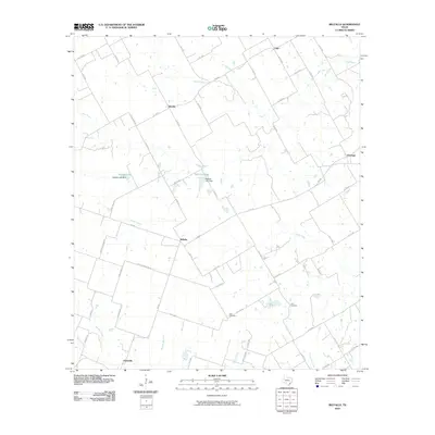
1957 Bruceville
Falls County, TX
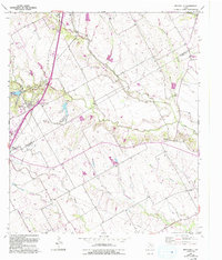
1957 McClanahan
Falls County, TX
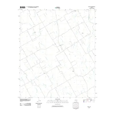
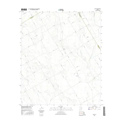
1957 Otto
Falls County, TX

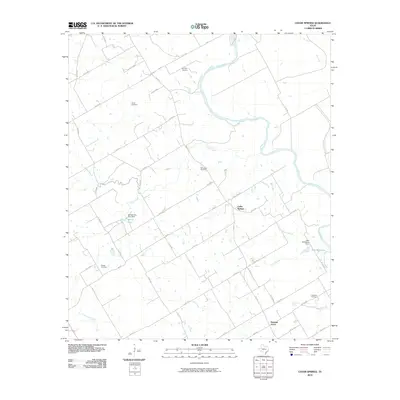
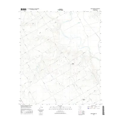
1962 Cedar Springs
Falls County, TX
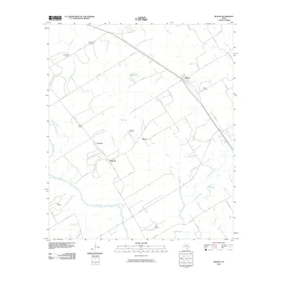
1962 Reagan
Falls County, TX
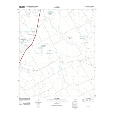
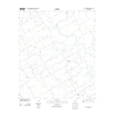
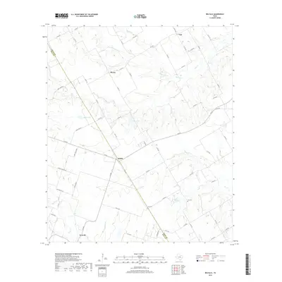
1963 Belfalls
Falls County, TX
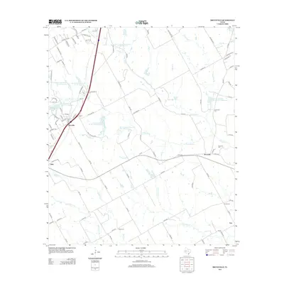
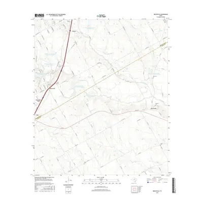
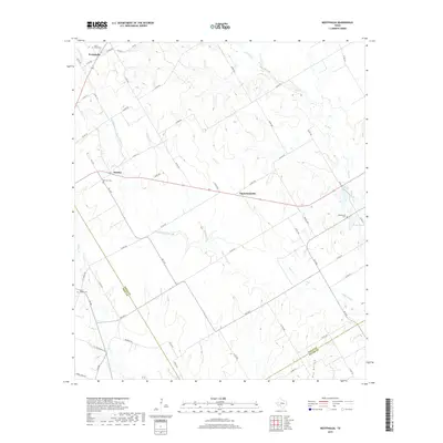
1963 Westphalia
Falls County, TX
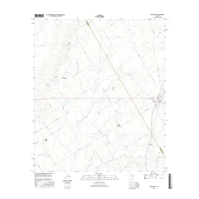
1965 Kosse West
Falls County, TX
2010 Belfalls
Falls County, TX
2010 Bruceville
Falls County, TX
2010 Cedar Springs
Falls County, TX
2010 Kosse West
Falls County, TX
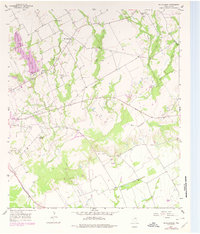
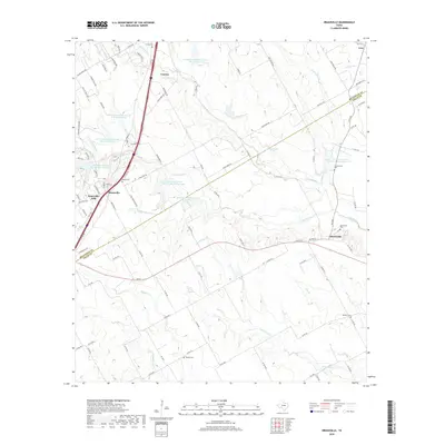
2010 McClanahan
Falls County, TX
2010 Otto
Falls County, TX
2010 Reagan
Falls County, TX
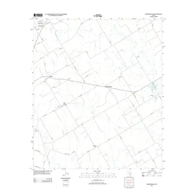
2010 Westphalia
Falls County, TX
2012 Belfalls
Falls County, TX
2012 Bruceville
Falls County, TX
2012 Westphalia
Falls County, TX
2013 Cedar Springs
Falls County, TX
2013 Kosse West
Falls County, TX
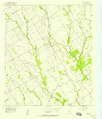
2013 McClanahan
Falls County, TX
2013 Otto
Falls County, TX
2013 Reagan
Falls County, TX
2016 Belfalls
Falls County, TX
2016 Bruceville
Falls County, TX
2016 Cedar Springs
Falls County, TX
2016 Kosse West
Falls County, TX
2016 McClanahan
Falls County, TX
2016 Otto
Falls County, TX

2016 Reagan
Falls County, TX

2016 Westphalia
Falls County, TX
2019 Belfalls
Falls County, TX
2019 Bruceville
Falls County, TX
2019 Cedar Springs
Falls County, TX
2019 Kosse West
Falls County, TX
2019 McClanahan
Falls County, TX

2019 Otto
Falls County, TX
2019 Reagan
Falls County, TX
2019 Westphalia
Falls County, TX
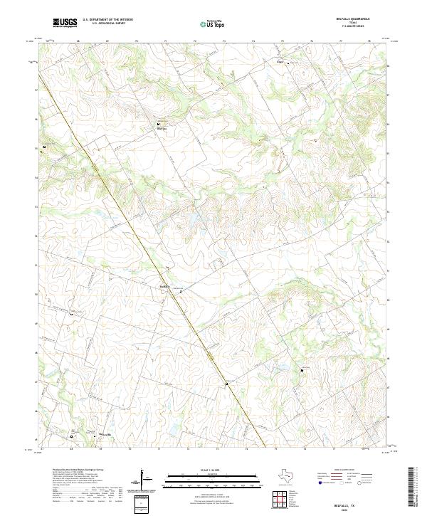
2022 Belfalls
Falls County, TX
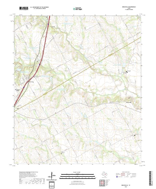
2022 Bruceville
Falls County, TX

2022 Cedar Springs
Falls County, TX
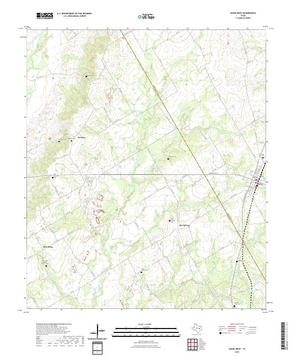
2022 Kosse West
Falls County, TX
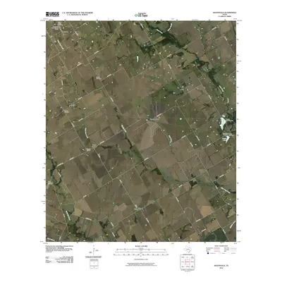
2022 McClanahan
Falls County, TX
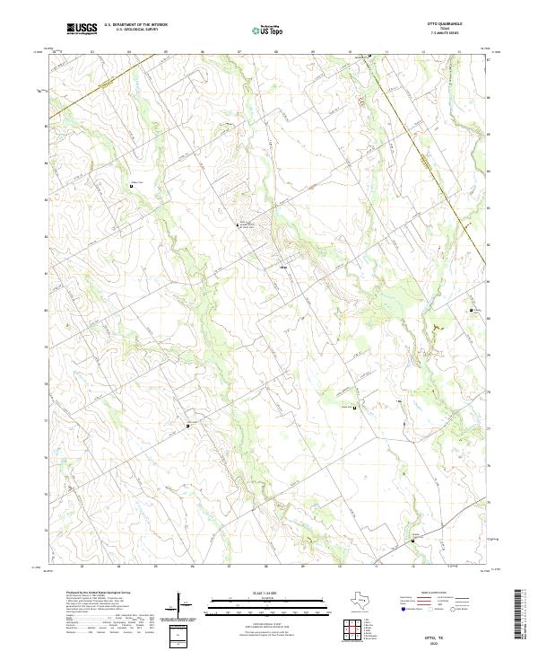
2022 Otto
Falls County, TX
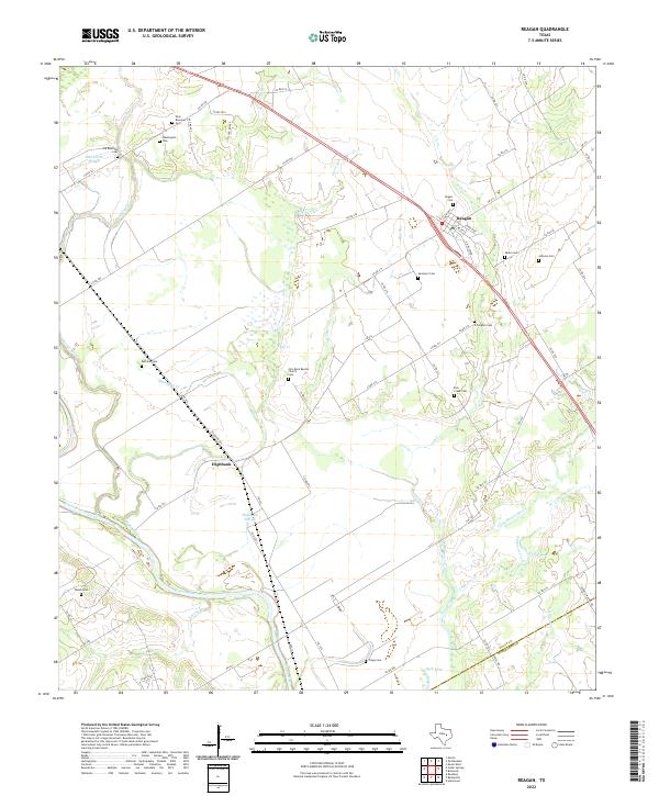
2022 Reagan
Falls County, TX
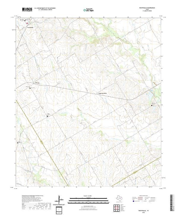
2022 Westphalia
Falls County, TX