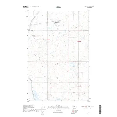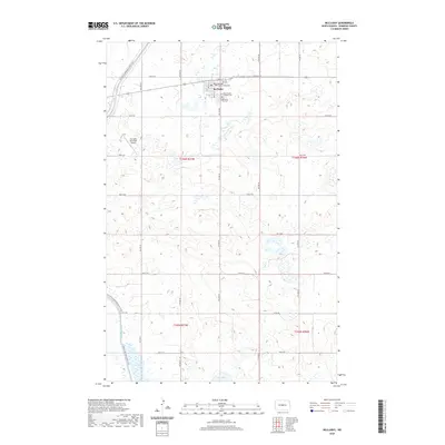
1979 Map of McClusky
USGS Topo · Published 1980About this map
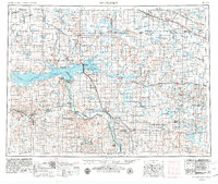
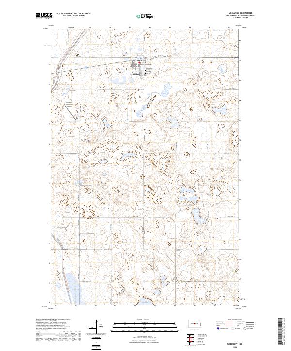
McClusky Canal cuts across this central North Dakota landscape, tracing a modern engineering path through the high plains of the late 1970s. The region is defined by the Burlington Northern railroad corridor, which links grain-handling settlements like McClusky, Goodrich, and Denhoff in the north, and Wilton to the south. This era shows a transition in land use, where former industrial sites such as the Wilton Mine State Game Management Area have been repurposed for conservation. Along the western edge, the Missouri River meanders through a valley of wetlands and backwaters, including Painted Woods Lake and the Lost Lake National Wildlife Refuge. The map captures a high density of alkali lakes and waterfowl production areas, such as Canfield Lake and Lake Josephine, highlighting the area's significance within the prairie pothole region.
Find a feature on this map
67 named features on this map. Tap any name to fly to it.
Don’t see what you’re looking for? This feature index may not catch every label — zoom into the map to look around manually.
Map Details
Editions of this 1979 McClusky Map
This is the sole edition of this map. No revisions or reprints were ever made.
Historical Maps of Wilton Through Time
9 maps found