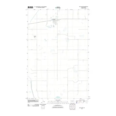
2011 Map of McClusky
USGS Topo · Published 2011About this map
McClusky serves as the central hub of this Sheridan County landscape, where the rectilinear grid of the town site meets the diagonal path of the McClusky Canal. This man-made waterway, a significant piece of regional infrastructure, cuts through the southwestern corner of the quadrangle, contrasting with the scattered natural depressions and small water bodies like Pop Lake to the south. The town's layout is firmly anchored by Main St S and N Railroad St, reflecting a history tied to transportation and trade. To the west, the McClusky Municipal Airport occupies a distinct parcel, while the surrounding area is defined by a sparse network of section-line roads like 7th Ave NE and 5th St NE, illustrating the vast, organized spacing of North Dakota's agricultural heartland in the early 21st century.
Find a feature on this map
28 named features on this map. Tap any name to fly to it.
Don’t see what you’re looking for? This feature index may not catch every label — zoom into the map to look around manually.
Map Details
Editions of this 2011 McClusky Map
This is the sole edition of this map. No revisions or reprints were ever made.
Other maps of this area

1945 · Pelican Lake
USGS Topo · 1:62,500

1947 · Pelican Lake
USGS Topo · 1:62,500

1947 · Lincoln Valley
USGS Topo · 1:62,500

1954 · McClusky
USGS Topo · 1:250,000

1958 · McClusky
USGS Topo · 1:250,000

1959 · Pickardville
USGS Topo · 1:24,000

1959 · Mercer SE
USGS Topo · 1:24,000

1959 · McClusky
USGS Topo · 1:24,000

1960 · Lincoln Valley SE
USGS Topo · 1:24,000

1960 · Horse Lake
USGS Topo · 1:24,000