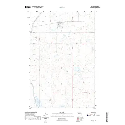
2018 Map of McClusky
USGS Topo · Published 2018About this map
McClusky serves as the central hub for this portion of Sheridan County, where the local grid meets the expansive agricultural landscape of central North Dakota. The area is characterized by a significant water management system, most notably the McClusky Canal, which winds through the terrain alongside the N Country National Scenic Trail. This trail provides a continuous recreational corridor that intersects with the town’s western edge. To the south, the presence of Johns Lake and Pop Lake highlights the prairie pothole region's natural hydrography, while the Mc Clusky Municipal Airport anchors the municipal infrastructure to the west. The map also delineates the precise township and range boundaries for t146n r77w and t146n r76w, providing essential data for land use and genealogical research in this prairie community.
Find a feature on this map
32 named features on this map. Tap any name to fly to it.
Don’t see what you’re looking for? This feature index may not catch every label — zoom into the map to look around manually.
Map Details
Editions of this 2018 McClusky Map
This is the sole edition of this map. No revisions or reprints were ever made.
Other maps of this area

1945 · Pelican Lake
USGS Topo · 1:62,500

1947 · Pelican Lake
USGS Topo · 1:62,500

1947 · Lincoln Valley
USGS Topo · 1:62,500

1954 · McClusky
USGS Topo · 1:250,000

1958 · McClusky
USGS Topo · 1:250,000

1959 · Pickardville
USGS Topo · 1:24,000

1959 · Mercer SE
USGS Topo · 1:24,000

1959 · McClusky
USGS Topo · 1:24,000

1960 · Lincoln Valley SE
USGS Topo · 1:24,000

1960 · Horse Lake
USGS Topo · 1:24,000