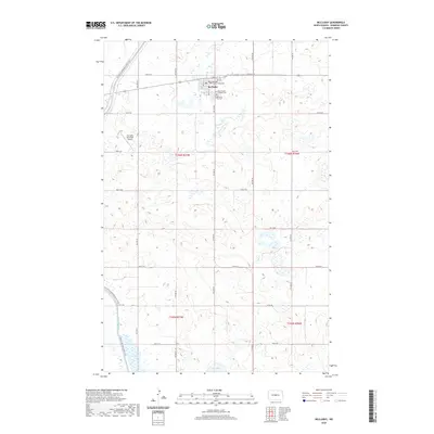
2020 Map of McClusky
USGS Topo · Published 2020About this map
McClusky serves as the seat of Sheridan County, defined by a structured grid of streets including Main St E and Ave A E. This modern survey reveals the civic and spiritual center of the community at the Sheridan County Courthouse and nearby Holy Family Catholic Cem. The surrounding landscape is dominated by the prairie pothole region's characteristic wetlands and water bodies, most notably the expansive McClusky Canal which cuts through the southwestern terrain. This engineering feat, part of the Garrison Diversion Unit, flows near Johns Lake and Pop Lake, illustrating the sophisticated water management systems developed to support agriculture in the central North Dakota plains. Long-distance recreation is represented by the N Country National Scenic Trail, which winds past the McClusky Municipal Airport as it traverses the county.
Find a feature on this map
24 named features on this map. Tap any name to fly to it.
Don’t see what you’re looking for? This feature index may not catch every label — zoom into the map to look around manually.
Map Details
Editions of this 2020 McClusky Map
This is the sole edition of this map. No revisions or reprints were ever made.
Other maps of this area

1945 · Pelican Lake
USGS Topo · 1:62,500

1947 · Pelican Lake
USGS Topo · 1:62,500

1947 · Lincoln Valley
USGS Topo · 1:62,500

1954 · McClusky
USGS Topo · 1:250,000

1958 · McClusky
USGS Topo · 1:250,000

1959 · Pickardville
USGS Topo · 1:24,000

1959 · Mercer SE
USGS Topo · 1:24,000

1959 · McClusky
USGS Topo · 1:24,000

1960 · Lincoln Valley SE
USGS Topo · 1:24,000

1960 · Horse Lake
USGS Topo · 1:24,000