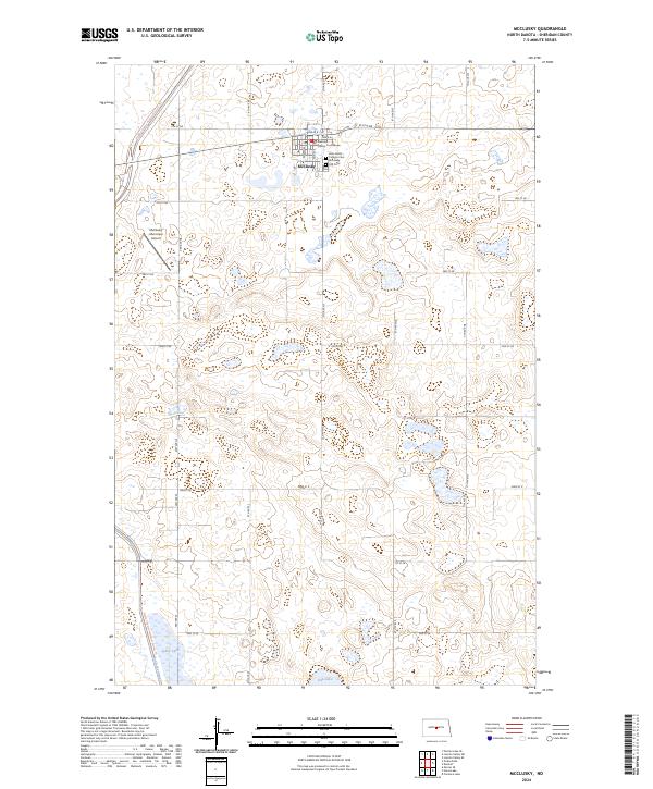
2024 Map of McClusky
USGS Topo · Published 2024About this map
McClusky serves as the central hub of this Missouri Plateau landscape, anchored by the Sheridan County Courthouse and a grid of residential streets. The town's layout reflects a classic Midwestern prairie settlement, with local infrastructure including the McClusky Municipal Airport and religious landmarks such as the Holy Family Catholic Cemetery and McClusky City Cemetery.
Find a feature on this map
25 named features on this map. Tap any name to fly to it.
Don’t see what you’re looking for? This feature index may not catch every label — zoom into the map to look around manually.
Map Details
Editions of this 2024 McClusky Map
This is the sole edition of this map. No revisions or reprints were ever made.
Other maps of this area

1945 · Pelican Lake
USGS Topo · 1:62,500

1947 · Pelican Lake
USGS Topo · 1:62,500

1947 · Lincoln Valley
USGS Topo · 1:62,500

1954 · McClusky
USGS Topo · 1:250,000

1958 · McClusky
USGS Topo · 1:250,000

1959 · Pickardville
USGS Topo · 1:24,000

1959 · Mercer SE
USGS Topo · 1:24,000

1959 · McClusky
USGS Topo · 1:24,000

1960 · Lincoln Valley SE
USGS Topo · 1:24,000

1960 · Horse Lake
USGS Topo · 1:24,000