Loading...
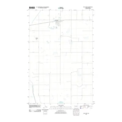
Loading map...1959 Map of McClusky
USGS Topo · Published 1980About this map
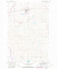
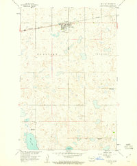
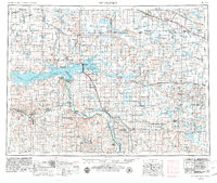
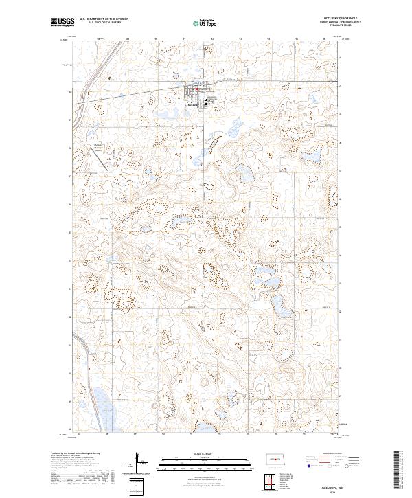
Mc Clusky serves as the focal point of this Sheridan County landscape, where the grain-hauling lines of the Burlington Northern railroad intersect with the emerging water infrastructure of the Missouri River Basin project. The map documents a significant era of engineering, clearly marking a large Canal Under Construction that cuts through the prairie northwest of the main settlement. This artificial waterway contrasts with the scattered natural prairie potholes and larger water bodies like Pop Lake to the south.
Find a feature on this map
16 named features on this map. Tap any name to fly to it.
Don’t see what you’re looking for? This feature index may not catch every label — zoom into the map to look around manually.
Map Details
Date Portrayed1959
Date Published1980
PublisherU.S. Geological Survey
Map TypeTopographic
Scale1:24,000
Physical Dimensions22 x 26.7 inches
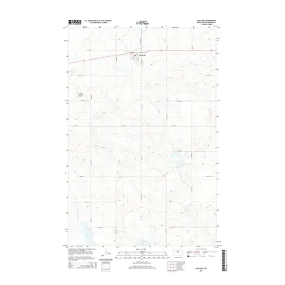
Editions of this 1959 McClusky Map
2 editions found
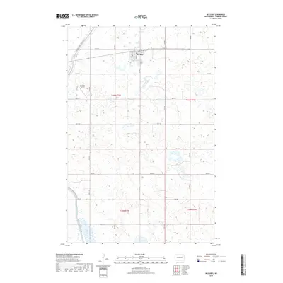
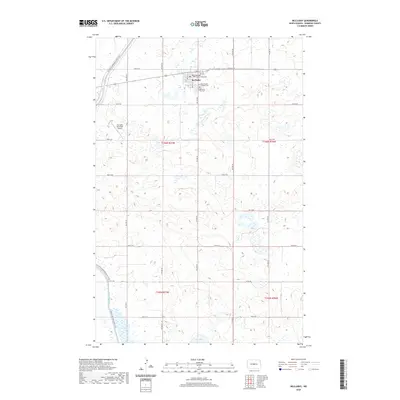
Historical Maps of McClusky Through Time
9 maps found

Featured Locations
Source Details
SourceU.S. Geological Survey
CopyrightPublic Domain