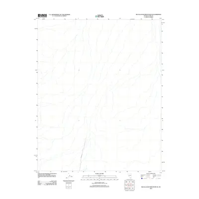
2012 Map of McCullough Mountain NE
USGS Topo · Published 2012About this map
This arid landscape in Clark County shows a high-altitude desert environment defined by intricate drainage patterns and significant elevation changes. The presence of Powerline Rd cutting through the southern portion of the terrain indicates the modern infrastructure necessary to traverse these desolate regions. This map, produced by the U.S. Geological Survey, focuses on the topographic contours and hydrography of the McCullough Mountain area during the early 21st century. The complex network of dry washes and canyons illustrated here provides a clear record of the watershed and natural drainage routes that shape the desert floor near the Nevada-California border.
Find a feature on this map
1 named feature on this map. Tap any name to fly to it.
Don’t see what you’re looking for? This feature index may not catch every label — zoom into the map to look around manually.
Map Details
Editions of this 2012 McCullough Mountain NE Map
This is the sole edition of this map. No revisions or reprints were ever made.
Other maps of this area

1886 · Camp Mohave
USGS Topo · 1:250,000

1892 · Camp Mohave
USGS Topo · 1:250,000

1910 · Ivanpah
USGS Topo · 1:250,000

1912 · Ivanpah
USGS Topo · 1:250,000

1926 · Nelson
USGS Topo · 1:96,000

1942 · Camp Mohave
USGS Topo · 1:250,000

1942 · Ivanpah
USGS Topo · 1:250,000

1947 · Kingman
USGS Topo · 1:250,000

1948 · Kingman
USGS Topo · 1:250,000

1954 · Kingman
USGS Topo · 1:250,000