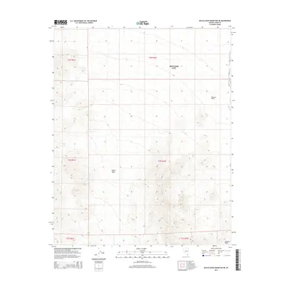
2014 Map of McCullough Mountain NE
USGS Topo · Published 2014About this map
Boulder City boundaries extend into the arid basins of southern Nevada in this 2014 survey. The landscape is defined by the sweeping Eldorado Valley to the east and the rugged elevations of the Highland Range in the southeast corner. This section of the Mojave Desert illustrates the stark contrast between the municipal limits of a growing desert city and the vast, undeveloped terrain that surrounds it. The map provides a detailed view of the natural topography and the rectilinear grid of the Public Land Survey System, which underpins the regional land management and property boundaries as they existed in the early 21st century.
Find a feature on this map
4 named features on this map. Tap any name to fly to it.
Don’t see what you’re looking for? This feature index may not catch every label — zoom into the map to look around manually.
Map Details
Editions of this 2014 McCullough Mountain NE Map
This is the sole edition of this map. No revisions or reprints were ever made.
Other maps of this area

1886 · Camp Mohave
USGS Topo · 1:250,000

1892 · Camp Mohave
USGS Topo · 1:250,000

1910 · Ivanpah
USGS Topo · 1:250,000

1912 · Ivanpah
USGS Topo · 1:250,000

1926 · Nelson
USGS Topo · 1:96,000

1942 · Camp Mohave
USGS Topo · 1:250,000

1942 · Ivanpah
USGS Topo · 1:250,000

1947 · Kingman
USGS Topo · 1:250,000

1948 · Kingman
USGS Topo · 1:250,000

1954 · Kingman
USGS Topo · 1:250,000