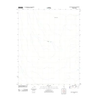
2012 Map of McCullough Pass
USGS Topo · Published 2012About this map
McCullough Pass serves as a primary geographic focal point in this high-altitude desert landscape of Clark County. The area is defined by sparse but critical water sources and isolated human improvements, reflecting the arid character of the southern Nevada interior. The Boyd Rucker Ranch stands as the sole named settlement or improvement on this sheet, indicating the vast spatial requirements for ranching in this environment. Hydrology is represented by isolated points such as McClanahan Spring and McCullough Spring, which were historically essential for both livestock and travelers navigating the passes. This topographic study emphasizes the dry drainage patterns and significant elevation changes typical of the region's mountain-and-basin topography.
Find a feature on this map
4 named features on this map. Tap any name to fly to it.
Don’t see what you’re looking for? This feature index may not catch every label — zoom into the map to look around manually.
Map Details
Editions of this 2012 McCullough Pass Map
This is the sole edition of this map. No revisions or reprints were ever made.
Other maps of this area

1910 · Ivanpah
USGS Topo · 1:250,000

1912 · Ivanpah
USGS Topo · 1:250,000

1942 · Ivanpah
USGS Topo · 1:250,000

1947 · Kingman
USGS Topo · 1:250,000

1948 · Kingman
USGS Topo · 1:250,000

1954 · Kingman
USGS Topo · 1:250,000

1955 · Kingman
USGS Topo · 1:250,000

1955 · Roach Lake
USGS Topo · 1:62,500

1958 · Kingman
USGS Topo · 1:250,000

1960 · Kingman
USGS Topo · 1:250,000