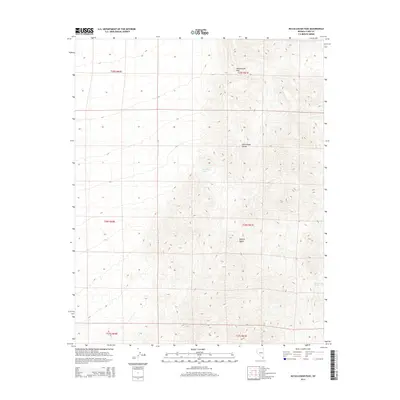
2014 Map of McCullough Pass
USGS Topo · Published 2014About this map
The McCullough Range dominates this portion of the Mojave Desert, where high-elevation topography defines the remote landscape of southern Nevada. This 2014 survey captures the intricate network of peaks and drainages centered on McCullough Pass, a vital natural crossing point in the range. The scarcity of water in this arid environment is highlighted by the presence of isolated water sources like McClanahan Spring and McCullough Spring, which have served as critical landmarks for travelers and local wildlife throughout the region's history. The map detail reflects the Public Land Survey System divisions, including townships such as t26s r61e, which provide a structural framework for understanding land management in this protected desert expanse.
Find a feature on this map
11 named features on this map. Tap any name to fly to it.
Don’t see what you’re looking for? This feature index may not catch every label — zoom into the map to look around manually.
Map Details
Editions of this 2014 McCullough Pass Map
This is the sole edition of this map. No revisions or reprints were ever made.
Other maps of this area

1910 · Ivanpah
USGS Topo · 1:250,000

1912 · Ivanpah
USGS Topo · 1:250,000

1942 · Ivanpah
USGS Topo · 1:250,000

1947 · Kingman
USGS Topo · 1:250,000

1948 · Kingman
USGS Topo · 1:250,000

1954 · Kingman
USGS Topo · 1:250,000

1955 · Kingman
USGS Topo · 1:250,000

1955 · Roach Lake
USGS Topo · 1:62,500

1958 · Kingman
USGS Topo · 1:250,000

1960 · Kingman
USGS Topo · 1:250,000