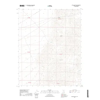
2018 Map of McCullough Pass
USGS Topo · Published 2018About this map
McCullough Pass provides a focal point for this high-elevation desert landscape within the McCullough Range in Clark County. The topography is defined by the sharp transition from the desert floor into the complex ridgelines of the range, part of the larger Mojave Desert ecosystem. Water sources are scarce but critical in this arid environment, represented by McClanahan Spring and McCullough Spring, which are vital landmarks for both historic travel and local wildlife. This 2018 survey emphasizes the natural landforms and surveying boundaries of the Public Land Survey System, including sections of t26s r61e and t25s r61e. The map serves as a detailed record of the undeveloped desert interior, highlighting the isolation and topographical structure of the southern Nevada mountains.
Find a feature on this map
11 named features on this map. Tap any name to fly to it.
Don’t see what you’re looking for? This feature index may not catch every label — zoom into the map to look around manually.
Map Details
Editions of this 2018 McCullough Pass Map
This is the sole edition of this map. No revisions or reprints were ever made.
Other maps of this area

1910 · Ivanpah
USGS Topo · 1:250,000

1912 · Ivanpah
USGS Topo · 1:250,000

1942 · Ivanpah
USGS Topo · 1:250,000

1947 · Kingman
USGS Topo · 1:250,000

1948 · Kingman
USGS Topo · 1:250,000

1954 · Kingman
USGS Topo · 1:250,000

1955 · Kingman
USGS Topo · 1:250,000

1955 · Roach Lake
USGS Topo · 1:62,500

1958 · Kingman
USGS Topo · 1:250,000

1960 · Kingman
USGS Topo · 1:250,000