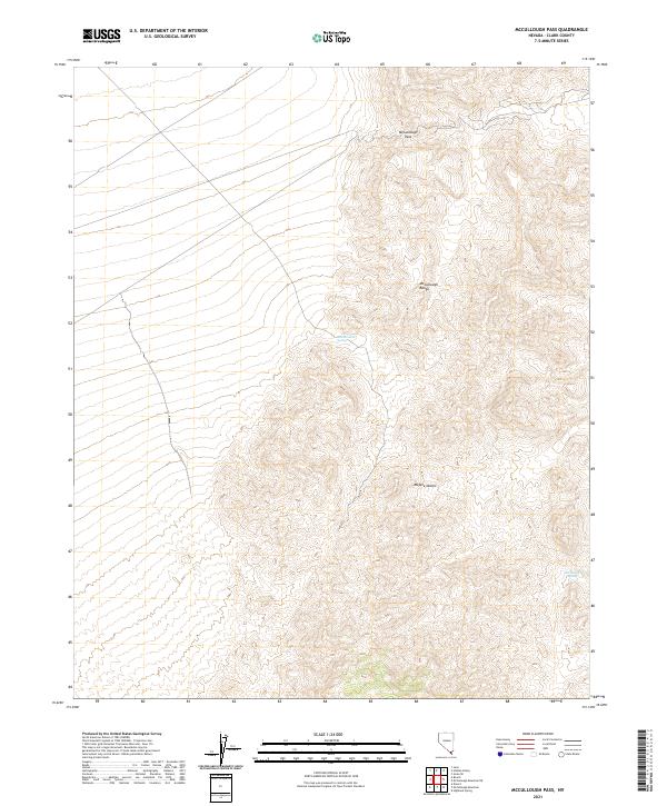
2021 Map of McCullough Pass
USGS Topo · Published 2021About this map
The high ridges of the McCullough Range define this arid landscape in southern Nevada, marked by steep elevation changes and isolated water sources. This 2021 survey shows a terrain where movement is funneled through the McCullough Pass, a natural gateway in the northern part of the quadrangle. Within this portion of the Mojave Desert, the presence of McClanahan Spring and McCullough Spring highlights the vital importance of natural seeps for local navigation and wildlife in a region otherwise characterized by dry washes and complex contours. The map also delineates the precise boundaries of several townships, including t25s r60e and t26s r61e, providing a clear grid of the public land survey system over the mountainous Clark County interior.
Find a feature on this map
12 named features on this map. Tap any name to fly to it.
Don’t see what you’re looking for? This feature index may not catch every label — zoom into the map to look around manually.
Map Details
Editions of this 2021 McCullough Pass Map
This is the sole edition of this map. No revisions or reprints were ever made.
Other maps of this area

1910 · Ivanpah
USGS Topo · 1:250,000

1912 · Ivanpah
USGS Topo · 1:250,000

1942 · Ivanpah
USGS Topo · 1:250,000

1947 · Kingman
USGS Topo · 1:250,000

1948 · Kingman
USGS Topo · 1:250,000

1954 · Kingman
USGS Topo · 1:250,000

1955 · Kingman
USGS Topo · 1:250,000

1955 · Roach Lake
USGS Topo · 1:62,500

1958 · Kingman
USGS Topo · 1:250,000

1960 · Kingman
USGS Topo · 1:250,000