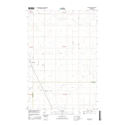
2014 Map of McFarland
USGS Topo · Published 2014About this map
McFarland and the surrounding woodlands of Delta and Marquette counties are defined by a complex network of waterways and early township boundaries. The landscape is dominated by the winding course of the Rapid River and its numerous tributaries, including Deer Cr, Werners Cr, and Deadhorse Cr. Local history is anchored by the presence of Hillview Cem near the junction of CR-444 and Co Road Re, and the Lathrop Cem located just south of the Marquette County line.
Find a feature on this map
33 named features on this map. Tap any name to fly to it.
Don’t see what you’re looking for? This feature index may not catch every label — zoom into the map to look around manually.
Map Details
Editions of this 2014 McFarland Map
This is the sole edition of this map. No revisions or reprints were ever made.
Other maps of this area

1932 · Skandia SW
USGS Topo · 1:31,680

1932 · Rock SW
USGS Topo · 1:31,680

1932 · Helena NE
USGS Topo · 1:31,680

1932 · Rock NE
USGS Topo · 1:31,680

1932 · Skandia SE
USGS Topo · 1:31,680

1932 · Rock SE
USGS Topo · 1:31,680

1932 · Harvey SE
USGS Topo · 1:31,680

1932 · Rock NW
USGS Topo · 1:31,680

1932 · Helena
USGS Topo · 1:31,680

1951 · Helena
USGS Topo · 1:31,680