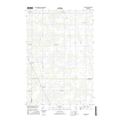
2017 Map of McFarland
USGS Topo · Published 2017About this map
McFarland and Lathrop serve as the primary focal points in this portion of the Upper Peninsula, where the landscape is defined by an intricate network of wetlands and seasonal drainages. The topography is dominated by the upper reaches of the Rapid River, which flows southward alongside the village of Lathrop. Cultural history is anchored by the Lathrop Cem and Hillview Cem, providing clear points of interest for genealogical research in Delta County.
Find a feature on this map
31 named features on this map. Tap any name to fly to it.
Don’t see what you’re looking for? This feature index may not catch every label — zoom into the map to look around manually.
Map Details
Editions of this 2017 McFarland Map
This is the sole edition of this map. No revisions or reprints were ever made.
Other maps of this area

1932 · Skandia SW
USGS Topo · 1:31,680

1932 · Rock SW
USGS Topo · 1:31,680

1932 · Helena NE
USGS Topo · 1:31,680

1932 · Rock NE
USGS Topo · 1:31,680

1932 · Skandia SE
USGS Topo · 1:31,680

1932 · Rock SE
USGS Topo · 1:31,680

1932 · Harvey SE
USGS Topo · 1:31,680

1932 · Rock NW
USGS Topo · 1:31,680

1932 · Helena
USGS Topo · 1:31,680

1951 · Helena
USGS Topo · 1:31,680