2023 Map of McGraws
USGS Topo · Published 2023About this map
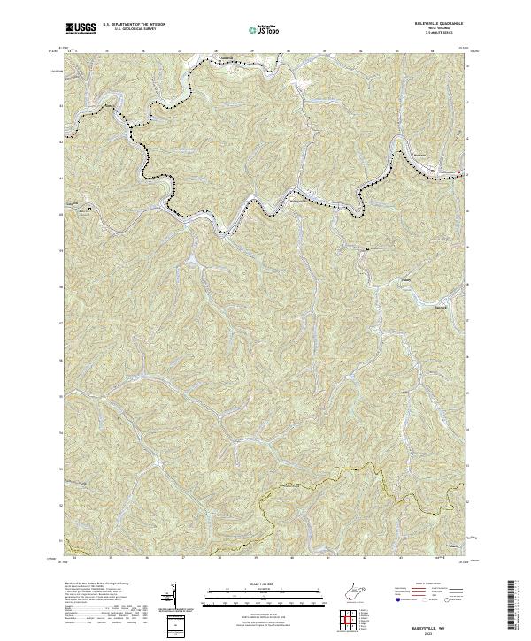
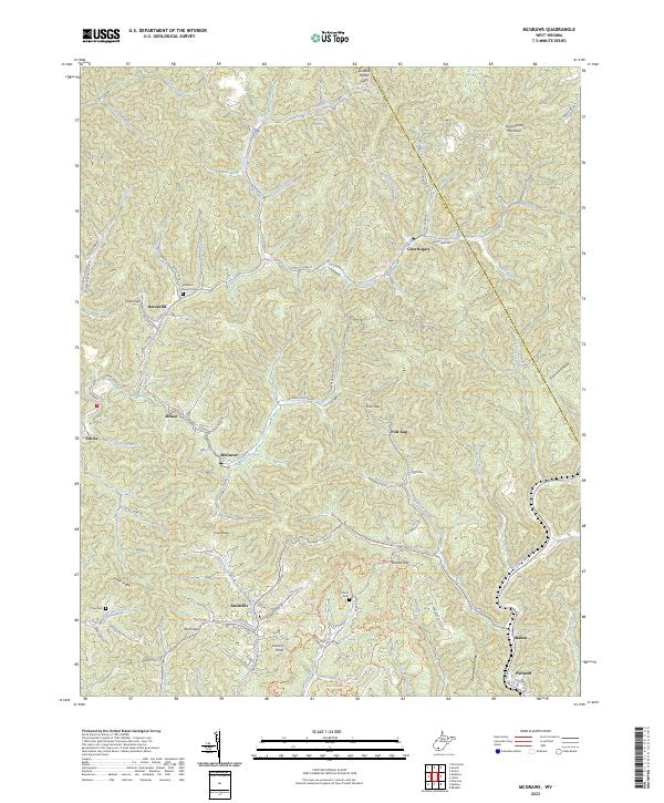
Guyandotte Mountain dominates the northeastern landscape of this Wyoming County region, where the steep terrain of the Allegheny Plateau is carved by a dense network of forks and branches. The settlement of Glen Rogers sits at the headwaters of Laurel Fork, while the community of McGraws serves as a central point along Co HWY 1. This area is defined by its ridge-and-hollow geography, with many small communities such as Saulsville, Ravencliff, and Milam positioned along the narrow valley floors. Genealogical interest is centered on several upland burial sites, including the Pinegrove Church Cem and Tolliver Cem. In the southern portion of the quadrangle, the transition to the Slab Fork watershed is marked by the settlements of Maben and Pierpont, illustrating the traditional Appalachian pattern of development following winding creek beds and mountain gaps like Low Gap and Station Gap.
Find a feature on this map
90 named features on this map. Tap any name to fly to it.
Don’t see what you’re looking for? This feature index may not catch every label — zoom into the map to look around manually.
Map Details
Editions of this 2023 McGraws Map
This is the sole edition of this map. No revisions or reprints were ever made.
Historical Maps of Maben Through Time
5 maps found