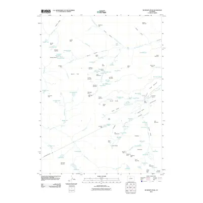
2010 Map of McHenrys Peak
USGS Topo · Published 2010About this map
Alva B Adams Tunnel cuts through the high peaks of the Continental Divide, representing a major piece of early 20th-century water engineering that remains a central feature of the local landscape. This high-altitude terrain is defined by a dense concentration of glacial remnants and alpine basins, where Sprague Glacier and Taylor Glacier feed into a complex network of headwaters including Spruce Creek and the Big Thompson River.
Find a feature on this map
122 named features on this map. Tap any name to fly to it.
Don’t see what you’re looking for? This feature index may not catch every label — zoom into the map to look around manually.
Map Details
Editions of this 2010 McHenrys Peak Map
This is the sole edition of this map. No revisions or reprints were ever made.
Other maps of this area

1915 · Longs Peak
USGS Topo · 1:125,000

1919 · Rocky Mountain National Park
USGS Topo · 1:125,000

1954 · Greeley
USGS Topo · 1:250,000

1957 · Greeley
USGS Topo · 1:250,000

1957 · Mc Henrys Peak
USGS Topo · 1:24,000

1957 · Trail Ridge
USGS Topo · 1:24,000

1957 · Allens Park
USGS Topo · 1:24,000

1957 · Longs Peak
USGS Topo · 1:24,000

1957 · Estes Park
USGS Topo · 1:24,000

1958 · Greeley
USGS Topo · 1:250,000