
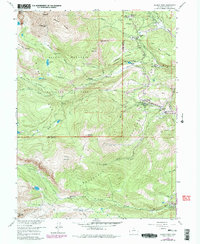
1957 Map of Allens Park
USGS Topo · Published 1959About this map
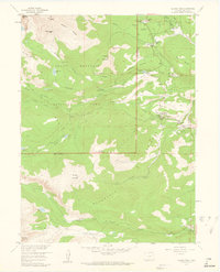
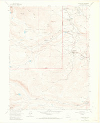
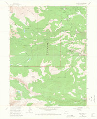
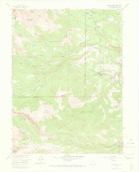
Allens Park serves as the focal point for this high-elevation landscape on the eastern edge of Rocky Mountain National Park. In the late 1950s, the area's development is concentrated along the North St. Vrain Creek corridor, where small settlements like Ferncliff and Peaceful Valley provide a stark contrast to the massive peaks to the west. The map documents the boundary between the national park and the Roosevelt National Forest, a line that separates the more developed eastern slopes from the alpine interior. Mountain history enthusiasts can trace the early infrastructure of the Wild Basin area, including the Wild Basin Ranger Station and a series of high-altitude water bodies such as Sandbeach Lake and Thunder Lake. Notable landmarks like the St Catherine Chapel near Meeker Park and the Hydraulic Laboratory along North St Vrain Creek reflect the diverse human presence in this high-country environment, ranging from religious retreat to scientific study.
Find a feature on this map
59 named features on this map. Tap any name to fly to it.
Don’t see what you’re looking for? This feature index may not catch every label — zoom into the map to look around manually.
Map Details
Editions of this 1957 Allens Park Map
7 editions found
Other maps of this area

1902 · Boulder
USGS Topo · 1:62,500

1904 · Boulder
USGS Topo · 1:62,500

1905 · Mount Olympus
USGS Topo · 1:62,500

1907 · Mount Olympus
USGS Topo · 1:62,500

1915 · Longs Peak
USGS Topo · 1:125,000

1919 · Rocky Mountain National Park
USGS Topo · 1:125,000

1954 · Greeley
USGS Topo · 1:250,000

1957 · Greeley
USGS Topo · 1:250,000

1957 · Mc Henrys Peak
USGS Topo · 1:24,000
1957 · Gold Hill
USGS Topo · 1:24,000