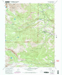
1957 Map of Allens Park
USGS Topo · Published 1978About this map
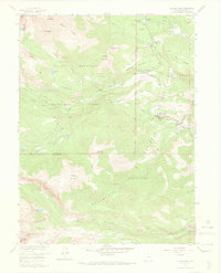
Allens Park and the surrounding high-altitude terrain define this 1957 survey, updated with revisions through 1978. The landscape is characterized by the convergence of Rocky Mountain National Park and Roosevelt National Forest, where alpine peaks like Mt Meeker and Pagoda Mountain overlook a complex network of glacial features and mountain streams. The development of the area for seasonal recreation and conservation is evident through landmarks such as the Wild Basin Ranger Station, the Rock Creek Ski Area, and St Catherine Chapel at Camp St Malo.
Find a feature on this map
60 named features on this map. Tap any name to fly to it.
Don’t see what you’re looking for? This feature index may not catch every label — zoom into the map to look around manually.
Map Details
Editions of this 1957 Allens Park Map
7 editions found
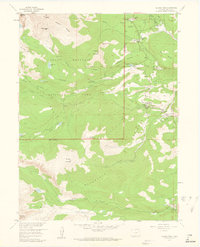
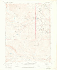
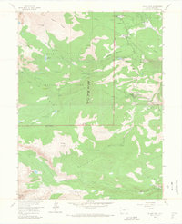
Other maps of this area

1902 · Boulder
USGS Topo · 1:62,500

1904 · Boulder
USGS Topo · 1:62,500

1905 · Mount Olympus
USGS Topo · 1:62,500

1907 · Mount Olympus
USGS Topo · 1:62,500

1915 · Longs Peak
USGS Topo · 1:125,000

1919 · Rocky Mountain National Park
USGS Topo · 1:125,000

1954 · Greeley
USGS Topo · 1:250,000

1957 · Greeley
USGS Topo · 1:250,000

1957 · Mc Henrys Peak
USGS Topo · 1:24,000

1957 · Allens Park
USGS Topo · 1:24,000