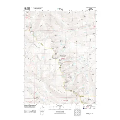
2013 Map of McHenrys Peak
USGS Topo · Published 2013About this map
McHenrys Peak and the high-altitude divide of Rocky Mountain National Park dominate this survey, where the border of Larimer, Grand, and Boulder counties meets. The landscape is defined by its glacial history, with features like Bierstadt Moraine, Sprague Glacier, and Andrews Glacier illustrating the massive ice-carved geology of the Front Range. The map serves as a detailed record of the region's wilderness character, showing the Continental Divide National Scenic Trail (NST) as it traverses passes such as Sprague Pass and Stone Man Pass. Notable for local historians and genealogists are the isolated burial sites documented here, including the Doctor Thornton R Sampson Grave and the J P Chitwood Grave, which sit far from any modern settlements. A complex network of high-alpine waters, including the Big Thompson River and numerous lakes like Rainbow Lake and Blue Lake, drain these sheer granite peaks.
Find a feature on this map
176 named features on this map. Tap any name to fly to it.
Don’t see what you’re looking for? This feature index may not catch every label — zoom into the map to look around manually.
Map Details
Editions of this 2013 McHenrys Peak Map
This is the sole edition of this map. No revisions or reprints were ever made.
Other maps of this area
1915 · Longs Peak
USGS Topo · 1:125,000
1919 · Rocky Mountain National Park
USGS Topo · 1:125,000
1954 · Greeley
USGS Topo · 1:250,000
1957 · Greeley
USGS Topo · 1:250,000
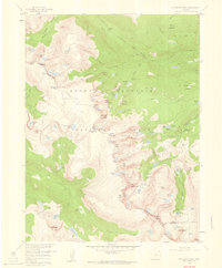
1957 · Mc Henrys Peak
USGS Topo · 1:24,000
1957 · Trail Ridge
USGS Topo · 1:24,000
1957 · Allens Park
USGS Topo · 1:24,000
1957 · Longs Peak
USGS Topo · 1:24,000
1957 · Estes Park
USGS Topo · 1:24,000
1958 · Greeley
USGS Topo · 1:250,000