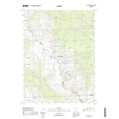
2019 Map of McHenrys Peak
USGS Topo · Published 2019About this map
Rocky Mountain National Park serves as the backdrop for this high-altitude survey, which documents the complex verticality of the Front Range. The map details a landscape defined by sharp peaks like Stones Peak and Snowdrift Peak, and the deep glacial scars of Hayden Gorge and Spruce Canyon. A notable human imprint on this wild terrain is the Alva B Adams Tunnel, an engineering feat designed to divert water beneath the continental divide. For historians, the inclusion of the Doctor Thornton R Sampson Grave and Chitwood Grave offers a rare personal record of early individuals who lived or died in these mountains. The sheet also reveals an extensive network of early corridors, including the Ute Trail E and the Continental Divide National Scenic Trail, alongside water management features like the Eureka Ditch.
Find a feature on this map
139 named features on this map. Tap any name to fly to it.
Don’t see what you’re looking for? This feature index may not catch every label — zoom into the map to look around manually.
Map Details
Editions of this 2019 McHenrys Peak Map
This is the sole edition of this map. No revisions or reprints were ever made.
Other maps of this area
1915 · Longs Peak
USGS Topo · 1:125,000
1919 · Rocky Mountain National Park
USGS Topo · 1:125,000
1954 · Greeley
USGS Topo · 1:250,000
1957 · Greeley
USGS Topo · 1:250,000
1957 · Mc Henrys Peak
USGS Topo · 1:24,000
1957 · Trail Ridge
USGS Topo · 1:24,000
1957 · Allens Park
USGS Topo · 1:24,000
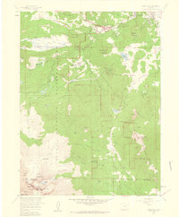
1957 · Longs Peak
USGS Topo · 1:24,000
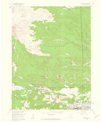
1957 · Estes Park
USGS Topo · 1:24,000
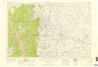
1958 · Greeley
USGS Topo · 1:250,000