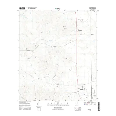
2014 Map of McIntosh
USGS Topo · Published 2014About this map
McIntosh and its surrounding river-lowland settlements anchor this 2014 survey of Washington County, Alabama. The landscape is defined by an intricate network of watercourses including Bilbo Cr and Lewis Cr, which drain toward the east through a series of ridges and hills like Monger Hill and Beard Hill. This era reflects a established rural infrastructure, where modern thoroughfares like Hawthorn Rd connect long-standing communities. Genealogists will find significant value in the distribution of family and community burial sites, from the centrally located McIntosh Cem and Saint Paul Cem to more secluded locations like Washington Cem and Magnolia Cem. The southern portion of the quadrangle shows the expansion of local industry along Industrial Rd, while the northern reaches maintain a sparse, creek-fed character near New Wakefield and Toinette.
Find a feature on this map
63 named features on this map. Tap any name to fly to it.
Don’t see what you’re looking for? This feature index may not catch every label — zoom into the map to look around manually.
Map Details
Editions of this 2014 McIntosh Map
This is the sole edition of this map. No revisions or reprints were ever made.
Other maps of this area

1943 · Choctaw Bluff
USGS Topo · 1:62,500

1943 · Tensaw
USGS Topo · 1:62,500

1943 · Citronelle
USGS Topo · 1:62,500

1943 · McIntosh
USGS Topo · 1:62,500

1944 · McIntosh
USGS Topo · 1:62,500

1944 · Tensaw
USGS Topo · 1:62,500

1946 · Citronelle
USGS Topo · 1:62,500

1946 · Choctaw Bluff
USGS Topo · 1:62,500

1953 · Andalusia
USGS Topo · 1:250,000

1953 · Hattiesburg
USGS Topo · 1:250,000