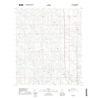
2018 Map of McIntosh
USGS Topo · Published 2018About this map
McIntosh serves as the primary hub of this Washington County landscape, where the intersection of local routes and woodland hills defines the community's layout. The terrain is marked by prominent elevations such as Monger Hill, Beard Hill, and High Hill, which rise above a complex network of waterways including Bilbo Cr and Little Boggy Br. Genealogists will find a high density of family and community burial grounds, from the centrally located McIntosh Cem to more isolated sites like Washington Cem and Fields Cem. To the north and west, smaller settlements like Toinette and Hawthorn are linked by a grid of county roads and family-named lanes. The drainage patterns of Copeland Cr and Henson Cr underscore the area's geography, showing how early settlement and road placement followed the natural rises and falls of the Alabama interior.
Find a feature on this map
77 named features on this map. Tap any name to fly to it.
Don’t see what you’re looking for? This feature index may not catch every label — zoom into the map to look around manually.
Map Details
Editions of this 2018 McIntosh Map
This is the sole edition of this map. No revisions or reprints were ever made.
Other maps of this area

1943 · Choctaw Bluff
USGS Topo · 1:62,500

1943 · Tensaw
USGS Topo · 1:62,500

1943 · Citronelle
USGS Topo · 1:62,500

1943 · McIntosh
USGS Topo · 1:62,500

1944 · McIntosh
USGS Topo · 1:62,500

1944 · Tensaw
USGS Topo · 1:62,500

1946 · Citronelle
USGS Topo · 1:62,500

1946 · Choctaw Bluff
USGS Topo · 1:62,500

1953 · Andalusia
USGS Topo · 1:250,000

1953 · Hattiesburg
USGS Topo · 1:250,000