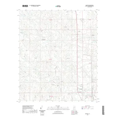
2020 Map of McIntosh
USGS Topo · Published 2020About this map
McIntosh serves as the primary hub of this Washington County landscape, where the Norfolk Southern corridor parallels the main thoroughfare. The settlement pattern is defined by a dense network of family-named roads and rural cemeteries, reflecting generations of local history. Notable burial grounds such as Washington Cem, Fields Cem, and Reeds Chapel Cem are scattered across the terrain, often near small communities like Hawthorn and Toinette.
Find a feature on this map
76 named features on this map. Tap any name to fly to it.
Don’t see what you’re looking for? This feature index may not catch every label — zoom into the map to look around manually.
Map Details
Editions of this 2020 McIntosh Map
This is the sole edition of this map. No revisions or reprints were ever made.
Other maps of this area

1943 · Choctaw Bluff
USGS Topo · 1:62,500

1943 · Tensaw
USGS Topo · 1:62,500

1943 · Citronelle
USGS Topo · 1:62,500

1943 · McIntosh
USGS Topo · 1:62,500

1944 · McIntosh
USGS Topo · 1:62,500

1944 · Tensaw
USGS Topo · 1:62,500

1946 · Citronelle
USGS Topo · 1:62,500

1946 · Choctaw Bluff
USGS Topo · 1:62,500

1953 · Andalusia
USGS Topo · 1:250,000

1953 · Hattiesburg
USGS Topo · 1:250,000