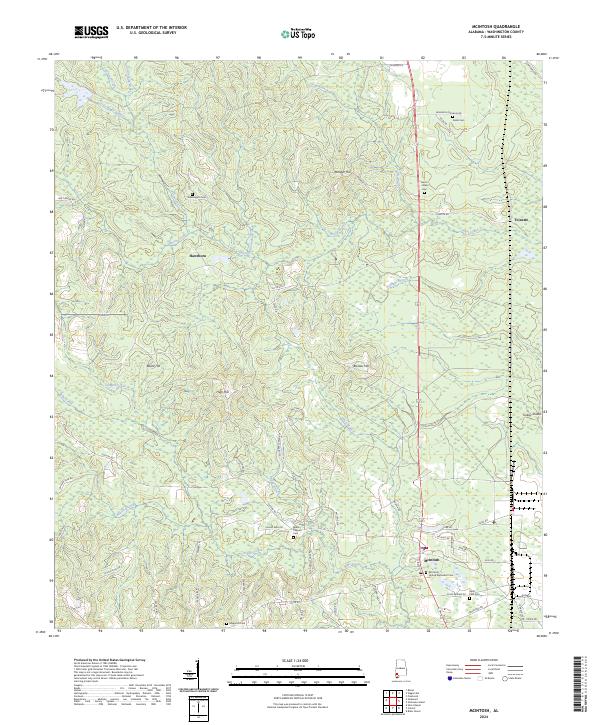
2024 Map of McIntosh
USGS Topo · Published 2024About this map
The town of McIntosh serves as the focal point of this Washington County landscape, where the intersection of rural life and industrial activity is clearly defined. Along the eastern edge, industrial corridors such as Industrial Rd and Geigy Rd flank the settlement, while the surrounding territory remains a dense network of creek drainages and timbered elevations. Small family and community landmarks are scattered throughout the quadrangle, including Washington Cem, Harris Hooks Cem, and the McIntosh United Methodist Cem. To the north, the small communities of Hawthorn and Toinette are situated among the higher ground near Monger Hill and Blocker Hill. The land is heavily dissected by water, from the winding path of Bilbo Creek to the smaller runs of Copeland Creek and Bradys Branch, eventually reaching Turkey Shoals along the river boundary.
Find a feature on this map
76 named features on this map. Tap any name to fly to it.
Don’t see what you’re looking for? This feature index may not catch every label — zoom into the map to look around manually.
Map Details
Editions of this 2024 McIntosh Map
This is the sole edition of this map. No revisions or reprints were ever made.
Other maps of this area

1943 · Choctaw Bluff
USGS Topo · 1:62,500

1943 · Tensaw
USGS Topo · 1:62,500

1943 · Citronelle
USGS Topo · 1:62,500

1943 · McIntosh
USGS Topo · 1:62,500

1944 · McIntosh
USGS Topo · 1:62,500

1944 · Tensaw
USGS Topo · 1:62,500

1946 · Citronelle
USGS Topo · 1:62,500

1946 · Choctaw Bluff
USGS Topo · 1:62,500

1953 · Andalusia
USGS Topo · 1:250,000

1953 · Hattiesburg
USGS Topo · 1:250,000