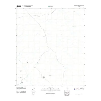
2010 Map of McKinney Springs
USGS Topo · Published 2010About this map
McKinney Springs serves as a focal point in this arid West Texas landscape, where life and transit are defined by the presence of water and ancient tracks. The map details a rugged network of drainages including Tornillo Creek and Javalina Creek, which carve through the desert floor towards the McKinney Hills. Historic access is preserved through the alignment of the Old Ore Rd, a significant corridor through this section of the Big Bend region that once facilitated the movement of minerals and supplies.
Find a feature on this map
12 named features on this map. Tap any name to fly to it.
Don’t see what you’re looking for? This feature index may not catch every label — zoom into the map to look around manually.
Map Details
Editions of this 2010 McKinney Springs Map
This is the sole edition of this map. No revisions or reprints were ever made.
Other maps of this area

1903 · Chisos Mountains
USGS Topo · 1:125,000

1905 · Chisos Mountains
USGS Topo · 1:125,000

1917 · Bone Spring
USGS Topo · 1:62,500

1918 · Bone Spring
USGS Topo · 1:125,000

1918 · Bone Spring
USGS Topo · 1:62,500

1919 · Maravillas Canyon
USGS Topo · 1:62,500

1920 · Bone Spring
USGS Topo · 1:62,500

1930 · Stillwell Creek
USGS Topo · 1:62,500

1959 · Emory Peak
USGS Topo · 1:250,000

1965 · Emory Peak
USGS Topo · 1:250,000