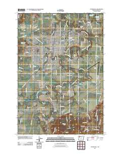
2011 Map of McMinnville
USGS Topo · Published 2011About this map
McMinnville serves as the central hub of this Yamhill County landscape, where the confluence of the North Yamhill River and South Yamhill River shapes the valley's layout. The map records a transition from the dense street grids of the city to the surrounding agricultural prairie, punctuated by smaller outlying settlements like Whiteson and Saint Joseph. The river system is a dominant geographic feature, winding through the Dayton Prairie and providing a backdrop for several local infrastructure landmarks, including the Whiteson Bridge and the Whiteson Dip Bridge.
Find a feature on this map
101 named features on this map. Tap any name to fly to it.
Don’t see what you’re looking for? This feature index may not catch every label — zoom into the map to look around manually.
Map Details
Editions of this 2011 McMinnville Map
This is the sole edition of this map. No revisions or reprints were ever made.
Other maps of this area

1924 · Mc Minnville
USGS Topo · 1:48,000

1926 · Mc Minnville
USGS Topo · 1:62,500

1940 · McMinnville
USGS Topo · 1:62,500

1941 · Yamhill
USGS Topo · 1:62,500

1942 · Sheridan
USGS Topo · 1:62,500

1942 · Yamhill
USGS Topo · 1:62,500

1942 · Fairdale
USGS Topo · 1:62,500

1948 · Vancouver
USGS Topo · 1:250,000

1950 · Vancouver
USGS Topo · 1:250,000

1950 · Vancouver
USGS Topo · 1:250,000