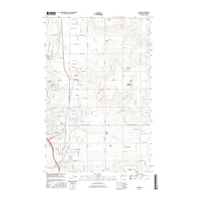
2017 Map of Mead
USGS Topo · Published 2017About this map
Mead, Colbert, and Buckeye anchor this landscape where the high plateaus of Orchard Bluff and Green Bluff overlook the expansive agricultural flats of Peone Prairie and Valley Prairie. The drainage of the Little Spokane River carves through the western edge of the quadrangle, spanned by local landmarks like the Little Spokane Drive Bridge and Colbert Road Bridge. This topography creates a distinct separation between the upland orchards and the lowland prairie settlements, a pattern reflected in the concentration of local infrastructure such as the Peone Cem and Mead Flying Service. The water network, including Deadman Cr and Little Deep Cr, defines the natural boundaries and agricultural potential of the region during the early 21st century.
Find a feature on this map
131 named features on this map. Tap any name to fly to it.
Don’t see what you’re looking for? This feature index may not catch every label — zoom into the map to look around manually.
Map Details
Editions of this 2017 Mead Map
This is the sole edition of this map. No revisions or reprints were ever made.
Other maps of this area

1901 · Spokane
USGS Topo · 1:125,000

1943 · Mt Spokane
USGS Topo · 1:62,500

1949 · Deer Park
USGS Topo · 1:62,500

1949 · Greenacres
USGS Topo · 1:62,500

1950 · Spokane NE
USGS Topo · 1:24,000

1950 · Mt Spokane
USGS Topo · 1:62,500

1950 · Spokane NW
USGS Topo · 1:24,000

1950 · Spokane
USGS Topo · 1:62,500

1951 · Deer Park
USGS Topo · 1:62,500

1951 · Greenacres
USGS Topo · 1:62,500