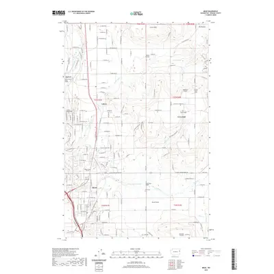
2020 Map of Mead
USGS Topo · Published 2020About this map
Mead and the surrounding agricultural prairies of northern Spokane County are documented here during a period of transition between rural heritage and suburban growth. The landscape is defined by its distinct prairies, including Valley Prairie, Peone Prairie, and Pleasant Prairie, which sit beneath prominent elevations like Orchard Bluff. The Little Spokane River winds through the northwest corner near Buckeye, while a network of creeks like Deadman Cr and Little Deep Cr drain the higher ground.
Find a feature on this map
153 named features on this map. Tap any name to fly to it.
Don’t see what you’re looking for? This feature index may not catch every label — zoom into the map to look around manually.
Map Details
Editions of this 2020 Mead Map
This is the sole edition of this map. No revisions or reprints were ever made.
Other maps of this area

1901 · Spokane
USGS Topo · 1:125,000

1943 · Mt Spokane
USGS Topo · 1:62,500

1949 · Deer Park
USGS Topo · 1:62,500

1949 · Greenacres
USGS Topo · 1:62,500

1950 · Spokane NE
USGS Topo · 1:24,000

1950 · Mt Spokane
USGS Topo · 1:62,500

1950 · Spokane NW
USGS Topo · 1:24,000

1950 · Spokane
USGS Topo · 1:62,500

1951 · Deer Park
USGS Topo · 1:62,500

1951 · Greenacres
USGS Topo · 1:62,500