1985 Map of Meadow
USGS Topo · Published 1985About this map
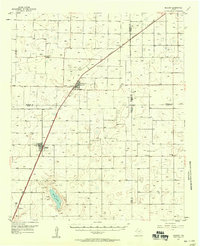
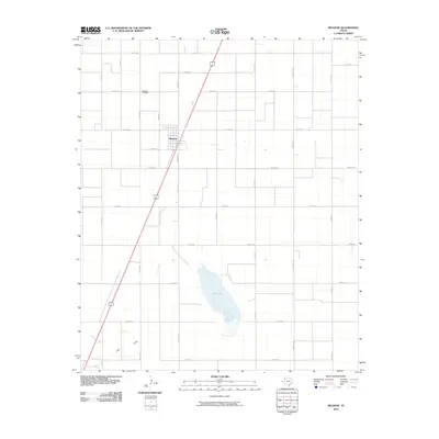
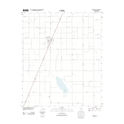
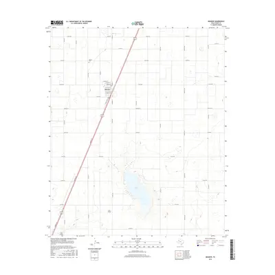
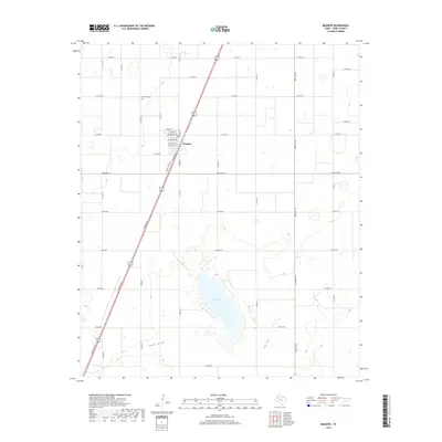
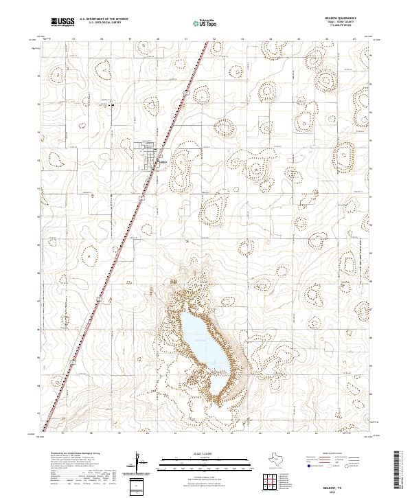
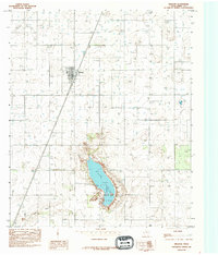
Meadow serves as the primary hub of this High Plains landscape, situated along the Atchison Topeka and Santa Fe RR during the mid-1980s. The settlement's local infrastructure is anchored by the Meadow Sch and the Meadow Cem, reflecting a stable agricultural community. To the southeast, the terrain drops significantly into Rich Lake, a prominent topographic depression that dominates the local drainage system. This saline playa, along with the nearby Lost Draw, illustrates the unique hydrography of the Llano Estacado, where intermittent water features and numerous wells define the relationship between the land and its limited water resources. The map captures the grid-like precision of rural Texas section lines, punctuated by an extensive network of wells that supported the region's intensive cotton farming during this era.
Find a feature on this map
7 named features on this map. Tap any name to fly to it.
Don’t see what you’re looking for? This feature index may not catch every label — zoom into the map to look around manually.
Map Details
Editions of this 1985 Meadow Map
This is the sole edition of this map. No revisions or reprints were ever made.
Historical Maps of Meadow Through Time
7 maps found