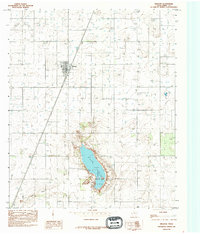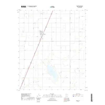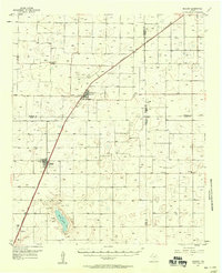
1957 Map of Meadow
USGS Topo · Published 1958About this map
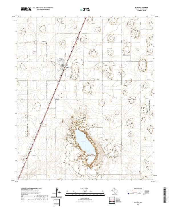
Agricultural life across the High Plains of West Texas centers on the corridor of the Panhandle And Santa Fe railroad during the late 1950s. The landscape is defined by its small farming hubs like Meadow and Ropesville, where cotton processing is evident at facilities such as the Farm Center Gin and Busters Gin. This era shows a community in transition, balancing traditional landmarks like the Meadow Cem and Lakeview Ch with modern infrastructure including the Television Booster Tower and the Mc Nabb Airfield.
Find a feature on this map
22 named features on this map. Tap any name to fly to it.
Don’t see what you’re looking for? This feature index may not catch every label — zoom into the map to look around manually.
Map Details
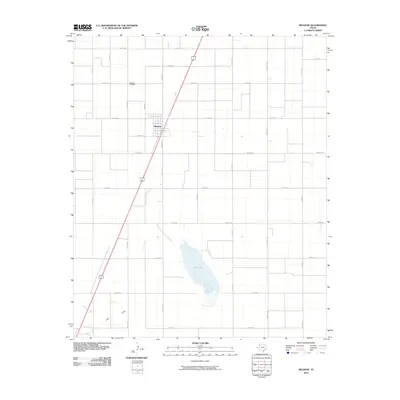
Editions of this 1957 Meadow Map
This is the sole edition of this map. No revisions or reprints were ever made.
Historical Maps of Wolfforth Through Time
7 maps found