
1957 Map of Lubbock
USGS Topo · Published 1958About this map
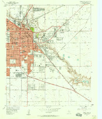
Lubbock dominates this mid-century survey, revealing a period of significant urban expansion and agricultural integration. The city is bordered by outlying communities like New Deal, Shallowater, and Carlisle, while the Lubbock Oil Field to the east highlights the region's energy resources. The landscape is defined by the winding course of Yellowhouse Canyon and the Double Mountain Fork Brazos River, which cut through the flat terrain. Local infrastructure is highly detailed, featuring the Texas Agricultural Experiment Station and a dense network of educational institutions such as Monterey High School and Atkins Jr High Sch. Transport patterns are shaped by several major rail lines, including the Santa Fe and the Fort Worth and Denver (Burlington), which converge near the City of Lubbock Industrial Area, illustrating the town's role as a regional shipping and industrial hub.
Find a feature on this map
54 named features on this map. Tap any name to fly to it.
Don’t see what you’re looking for? This feature index may not catch every label — zoom into the map to look around manually.
Map Details
Editions of this 1957 Lubbock Map
This is the sole edition of this map. No revisions or reprints were ever made.
Other maps of this area

1954 · Lubbock
USGS Topo · 1:250,000

1954 · Brownfield
USGS Topo · 1:250,000
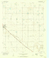
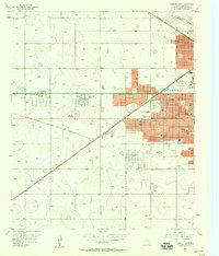
1956 · Shallowater
USGS Topo · 1:24,000
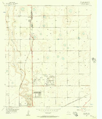
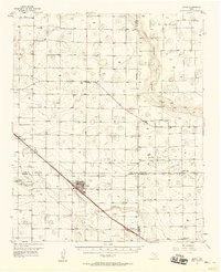
1956 · New Deal
USGS Topo · 1:24,000
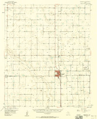
1957 · Lubbock East
USGS Topo · 1:24,000
1957 · New Home
USGS Topo · 1:62,500
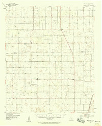
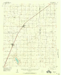
1957 · Lubbock West
USGS Topo · 1:24,000
1957 · Anton
USGS Topo · 1:62,500
1957 · Abernathy
USGS Topo · 1:62,500
1957 · Meadow
USGS Topo · 1:62,500