
1957 Map of Lubbock West
USGS Topo · Published 1958About this map
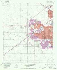
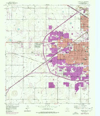
Lubbock expands westward across the High Plains in the late 1950s, a period marked by the significant growth of the Texas Technological College campus. The urban grid is dense with newly established institutions, including a concentration of educational facilities like Monterey High Sch, Hutchinson Jr High Sch, and Christ the King Sch. Outside the city boundary, the landscape remains characterized by large agricultural plots and scattered settlements like Carlisle and Doud. The Panhandle and Santa Fe railroad cuts diagonally through the southern plains, connecting these outlying communities to the central hub. Notable local landmarks from this era include the Westlake Golf Course, Maxey Park, and the Methodist Hospital, while the northeastern corner is defined by the sharp descent into Yellowhouse Canyon, providing a rare break in the flat Llano Estacado terrain.
Find a feature on this map
55 named features on this map. Tap any name to fly to it.
Don’t see what you’re looking for? This feature index may not catch every label — zoom into the map to look around manually.
Map Details
Editions of this 1957 Lubbock West Map
3 editions found
Other maps of this area

1954 · Lubbock
USGS Topo · 1:250,000

1954 · Brownfield
USGS Topo · 1:250,000

1956 · Shallowater
USGS Topo · 1:24,000

1956 · New Deal
USGS Topo · 1:24,000

1957 · Lubbock East
USGS Topo · 1:24,000

1957 · New Home
USGS Topo · 1:62,500

1957 · Lubbock
USGS Topo · 1:62,500

1957 · Meadow
USGS Topo · 1:62,500

1957 · Wolfforth
USGS Topo · 1:62,500

1958 · Brownfield
USGS Topo · 1:250,000