
1957 Map of Lubbock East
USGS Topo · Published 1958About this map
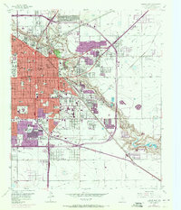
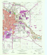
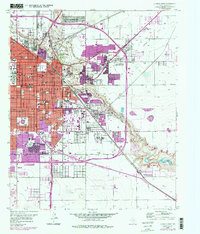
Lubbock stands at a pivotal moment of mid-century expansion, where the established urban grid meets the burgeoning West Texas agricultural and industrial landscape. The sprawling campus of Texas Technological College dominates the western edge, while the eastern reaches are defined by the winding course of the Double Mountain Fork Brazos River through Yellowhouse Canyon. This topography created a natural site for Mac Kenzie State Park, complete with a Meadowbrook Municipal Golf Course and South Plains Fairground.
Find a feature on this map
97 named features on this map. Tap any name to fly to it.
Don’t see what you’re looking for? This feature index may not catch every label — zoom into the map to look around manually.
Map Details
Editions of this 1957 Lubbock East Map
4 editions found
Other maps of this area

1954 · Lubbock
USGS Topo · 1:250,000

1956 · Shallowater
USGS Topo · 1:24,000

1956 · New Deal
USGS Topo · 1:24,000

1957 · New Home
USGS Topo · 1:62,500

1957 · Lubbock West
USGS Topo · 1:24,000

1957 · Lubbock
USGS Topo · 1:62,500

1965 · Slaton
USGS Topo · 1:24,000

1965 · Buffalo Springs Lake
USGS Topo · 1:24,000

1965 · Idalou
USGS Topo · 1:24,000

1976 · New Home NW
USGS Topo · 1:24,000