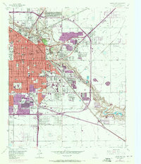
1957 Map of Lubbock East
USGS Topo · Published 1971About this map
Texas Technological College dominates the western landscape of this mid-century survey, anchoring the urban expansion of Lubbock. The map documents a period of significant growth, with purple-tinted revisions from 1970 showing the city's sprawl southward toward Slaton Road. The rugged breaks of Yellow House Canyon carve a deep diagonal through the quadrangle, providing a sharp contrast to the flat high plains. Within this depression, Mac Kenzie State Park and the City Cemetery provide a structured green belt against the intensifying residential grid.
Find a feature on this map
68 named features on this map. Tap any name to fly to it.
Don’t see what you’re looking for? This feature index may not catch every label — zoom into the map to look around manually.
Map Details
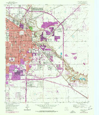
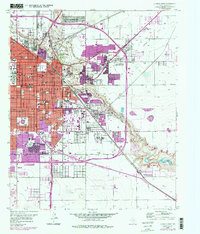
Editions of this 1957 Lubbock East Map
4 editions found
Other maps of this area

1954 · Lubbock
USGS Topo · 1:250,000

1956 · Shallowater
USGS Topo · 1:24,000

1956 · New Deal
USGS Topo · 1:24,000

1957 · Lubbock East
USGS Topo · 1:24,000

1957 · New Home
USGS Topo · 1:62,500

1957 · Lubbock West
USGS Topo · 1:24,000

1957 · Lubbock
USGS Topo · 1:62,500

1965 · Slaton
USGS Topo · 1:24,000

1965 · Buffalo Springs Lake
USGS Topo · 1:24,000

1965 · Idalou
USGS Topo · 1:24,000