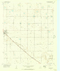
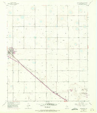
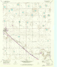
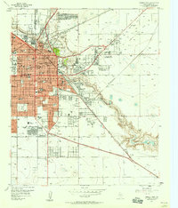
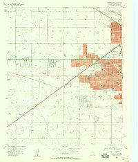
1956 Map of Shallowater
USGS Topo · Published 1957About this map
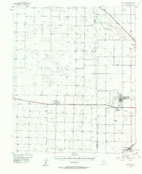
Shallowater stands as the primary hub of this West Texas landscape, positioned where the Panhandle and Santa Fe railroad cuts across the High Plains. The terrain is defined by the winding descent of Yellowhouse Canyon, which carves a distinct path through the otherwise level plateau. This mid-century survey captures a mix of agricultural utility and emerging recreation, featuring a Drag Strip and the Hillcrest Golf Course near the canyon floor. Local infrastructure is well-documented, from the Radio Range Sta to the small settlement at Broadview. The map also details early industrial and civic features like a Gravel Pit and Sewage Disposal site, alongside more leisure-focused landmarks including a Swimming Pool.
Find a feature on this map
14 named features on this map. Tap any name to fly to it.
Don’t see what you’re looking for? This feature index may not catch every label — zoom into the map to look around manually.
Map Details
Editions of this 1956 Shallowater Map
3 editions found
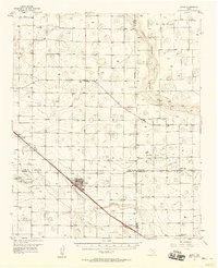
Other maps of this area

1954 · Lubbock
USGS Topo · 1:250,000

1954 · Brownfield
USGS Topo · 1:250,000
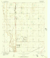
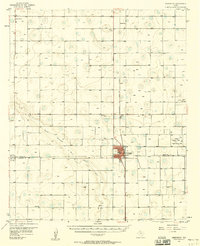
1956 · New Deal
USGS Topo · 1:24,000
1957 · Lubbock East
USGS Topo · 1:24,000
1957 · Lubbock West
USGS Topo · 1:24,000

1957 · Lubbock
USGS Topo · 1:62,500
1957 · Anton
USGS Topo · 1:62,500
1957 · Abernathy
USGS Topo · 1:62,500
1957 · Wolfforth
USGS Topo · 1:62,500

1958 · Brownfield
USGS Topo · 1:250,000