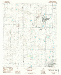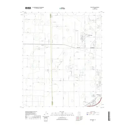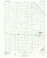
1957 Map of Wolfforth
USGS Topo · Published 1958About this map
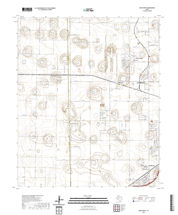
Reese Air Force Base dominates the eastern portion of this West Texas landscape, surrounded by the housing of Reese Village and the nearby community of Hurlwood. The map documents a period of significant industrial and military presence on the High Plains, with the extensive Smyer Oil Field spreading across the central plains alongside a Gasoline Plant and numerous caliche pits. The region's transport network is defined by the Panhandle and Santa Fe railroad, which links the settlements of Shallowater, Smyer, and Wolfforth.
Find a feature on this map
24 named features on this map. Tap any name to fly to it.
Don’t see what you’re looking for? This feature index may not catch every label — zoom into the map to look around manually.
Map Details
Editions of this 1957 Wolfforth Map
This is the sole edition of this map. No revisions or reprints were ever made.
Historical Maps of Lubbock Through Time
7 maps found