Old Maps of Smyer, Texas
Explore 12 old maps of Smyer, spanning from 1954 to today. These high-resolution historic maps reveal how streets, neighborhoods, landmarks, and natural features evolved over time — perfect for genealogy, metal detecting, research, and local history exploration.
What you can do with these maps:
- See how Smyer changed over time: Compare historical maps to modern-day views to trace roads, homesites, rail lines & more.
- View detailed metadata: Each map includes creators, publishers, year, scale, and archive source.
- Overlay maps with satellite & LiDAR: Visualize the past alongside modern tools to explore terrain & human change.
- Trusted historical sources: Maps sourced from the USGS, Library of Congress, and other archives.
- Access maps your way: View online, download high-res files, or order prints for personal or research use.
Start exploring old maps of Smyer to uncover forgotten places, hidden landmarks, and the deep history beneath your feet.
Smyer, TX maps
(12)- 1954 Map of Brownfield, 1975 Print
 1954 Brownfield1975 Print · USGSThe High Plains of the Texas-New Mexico border are captured here in the mid-twentieth century, as ranching and oil extraction shaped the Llano Estacado. Genealogists and historians can trace small rural centers like Lums Chapel, Hillburn City, and the Friendship Sch amid a landscape of windmills.2 unique versions available
 - 1957 Map of Wolfforth, 1958 Print
 1957 Wolfforth1958 Print · USGSThe High Plains of West Texas are captured here in the late fifties as military and oil interests expanded. Researchers can trace the layout of Reese Air Force Base, find the Smyer Oil Field, and locate the Bradford Sch.
 - 1958 Map of Brownfield
 1958 Brownfield1958 Print · USGSThe High Plains of the Texas-New Mexico border are captured here during a mid-century oil boom. Genealogists and historians can trace old community sites like Lums Chapel and Tokio alongside the vast Levelland and Slaughter Oil and Gas Field.
 - 1962 Map of Brownfield
 1962 Brownfield1962 Print · USGSThe High Plains of Texas and New Mexico are captured in the early sixties as a thriving hub of oil production and ranching. Researchers can trace the industrial footprint of the Levelland and Slaughter Oil and Gas Field or locate smaller towns like Sundown and Littlefield.
 - 1976 Map of Wolfforth SW, 1978 Print
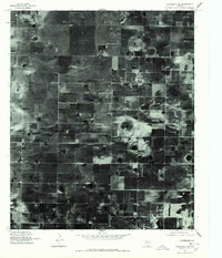 1976 Wolfforth SW1978 Print · USGSThe Texas South Plains of Hockley County come into sharp focus during the mid-seventies, showing a landscape defined by intensive irrigation and grid-line agriculture. Researchers can trace the street plan of Smyer and examine the distinct circular patterns of center-pivot farming across the plains.
 - 1985 Map of Smyer
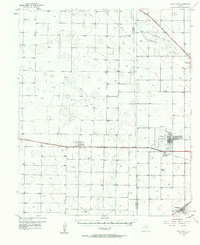
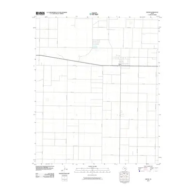
 1985 Smyer1985 Print · USGSSmyer and the surrounding plains of Hockley County are shown here in the mid-1980s as a landscape defined by industry and ranching. Researchers can trace the town grid of Smyer, locate a rural Cem, and follow the dense network of Wells and Pipelines.
 - 1985 Map of Levelland, 1986 Print
 1985 Levelland1986 Print · USGSThe West Texas High Plains are captured here in the mid-eighties as oil production and agriculture defined the region's economy. Researchers can trace the sprawling Levelland and Slaughter Oil and Gas Field or locate rural landmarks like Lums Chapel and South Plains College.2 unique versions available
 - 2010 Map of Smyer, 2010 Print
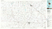
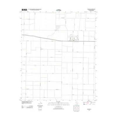
 2010 Smyer2010 Print · USGSCovers Smyer, including Hockley County, United States, and other nearby areas
 - 2012 Map of Smyer, 2012 Print
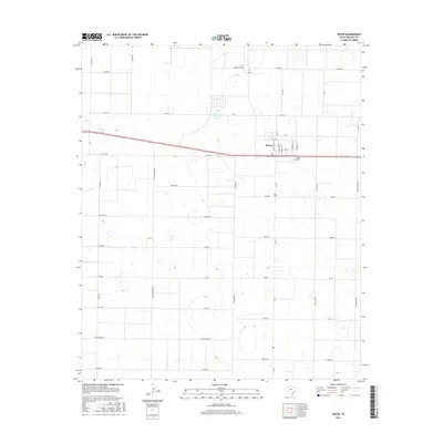
 2012 Smyer2012 Print · USGSCovers Smyer, including Hockley County, United States, and other nearby areas
 - 2016 Map of Smyer, 2016 Print
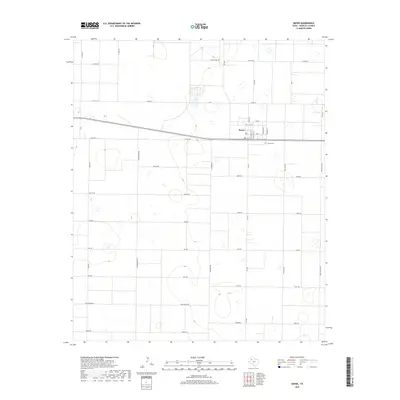
 2016 Smyer2016 Print · USGSCovers Smyer, including Hockley County, United States, and other nearby areas
 - 2019 Map of Smyer, 2019 Print
 2019 Smyer2019 Print · USGSCovers Smyer, including Hockley County, United States, and other nearby areas
 - 2022 Map of Smyer, 2022 Print
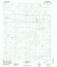
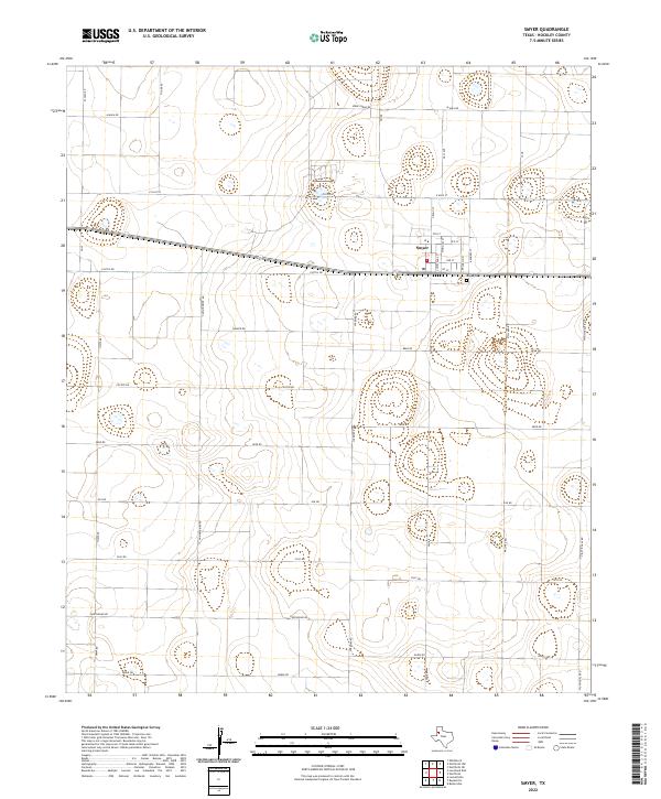 2022 Smyer2022 Print · USGSSmyer and the surrounding Hockley County plains are shown here in the early twenty-first century as a meticulously gridded agricultural landscape. Genealogists and local researchers can trace the town's layout near Smyer Cem and along family-named routes like Hall Ave and Spade Farms Rd.
End of results
Showing maps 1-12 of 12
Top cities near Smyer
- Lubbock historical maps
- Levelland historical maps
- Wolfforth historical maps
- Shallowater historical maps
- Anton historical maps
- Ropesville historical maps
See more
Frequently asked questions
- What are the different types of historical maps available for Smyer?
- What is the oldest map of Smyer?
- Where can I purchase historical maps of Smyer for my home or office?
- Where can I download high-res historical maps of Smyer?
- Are there historical topographic maps available for Smyer?
- Is there historical aerial imagery available for Smyer?
- Where are historical maps of Smyer sourced from?