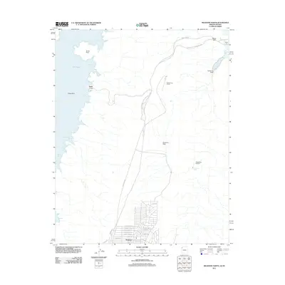
2011 Map of Meadview North
USGS Topo · Published 2011About this map
The community of Meadview serves as the focal point of this 2011 survey, situated at the eastern edge of the Lake Mead Natl Recreation Area. The map documents a residential street network that includes Silver Creek Dr, Basin Rd, and several thoroughfares named for local landmarks like Phantom Creek Ln and Hualapai Creek Ln. This area represents the transition from the high desert plateau of Grapevine Mesa to the waters of the Colorado River system.
Find a feature on this map
36 named features on this map. Tap any name to fly to it.
Don’t see what you’re looking for? This feature index may not catch every label — zoom into the map to look around manually.
Map Details
Editions of this 2011 Meadview North Map
This is the sole edition of this map. No revisions or reprints were ever made.
Other maps of this area

1886 · Diamond Creek
USGS Topo · 1:250,000

1886 · Camp Mohave
USGS Topo · 1:250,000

1886 · Saint Thomas
USGS Topo · 1:250,000

1886 · Mt. Trumbull
USGS Topo · 1:250,000

1892 · Diamond Creek
USGS Topo · 1:250,000

1892 · Mt. Trumbull
USGS Topo · 1:250,000

1892 · Camp Mohave
USGS Topo · 1:250,000

1893 · Saint Thomas
USGS Topo · 1:250,000

1926 · Bonelli
USGS Topo · 1:96,000

1942 · Camp Mohave
USGS Topo · 1:250,000